

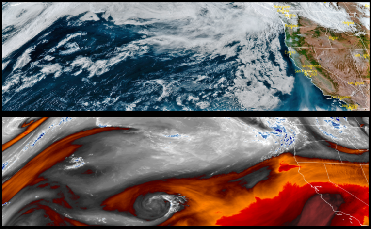
An upper level low pressure system is forecast to move into the region as the work week comes to an end for much of southwestern Oregon, prompting Flash Flood Watches from the National Weather Service for the possibility of localized heavy showers and embedded thunderstorms increasing the threat for high rainfall rates and debris flows over burn scars in northern California.
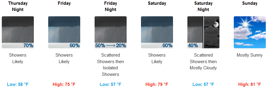
Inland, below normal temperatures more reflective of fall are expected to finish the week under mostly cloudy skies Thursday with showers likely continuing into the weekend. Temperatures are expected remain cooler with lows getting down to the low 50’s and afternoon highs in the mid to upper 70’s.
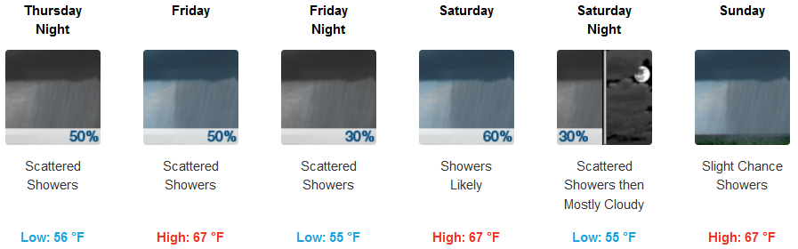
On the coast haze and smoke under partly cloudy skies will start Thursday changing to mostly cloudy skies and scattered showers Thursday evening and continuing through the weekend. Cloudy skies will keep temperatures temperatures along the coast cool with lows in the mid 50’s and afternoon highs only reaching the low 60’s.
Brookings:
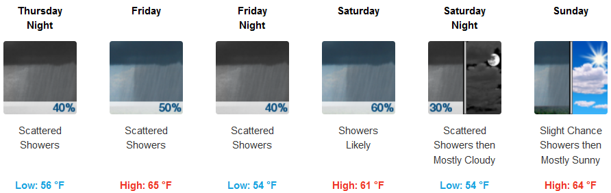
Crescent City:
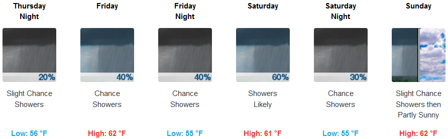
Gold Beach:
Cave Junction:
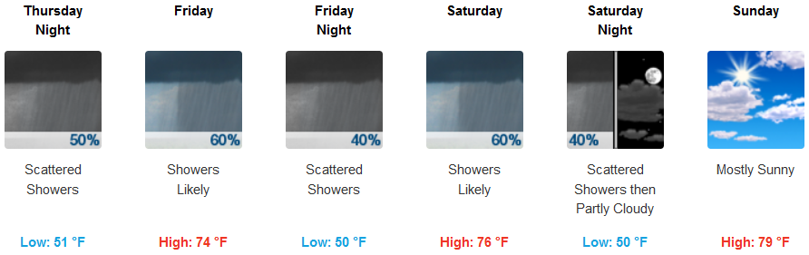
Grants Pass:
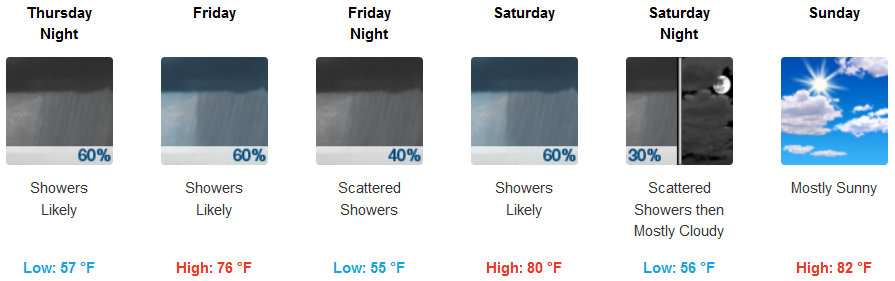
Medford: