

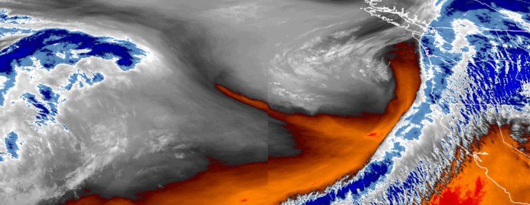
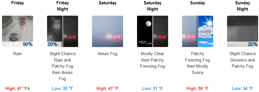
High Wind Warnings from the National Weather Service are forecast to expire early Friday morning as southern Oregon and northern California will see rain showers build into the region from Thursday evening through Friday night with snow levels expected to remain above all the major passes.
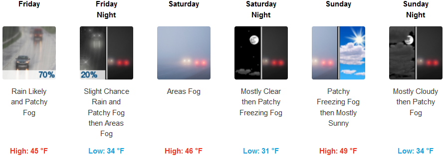
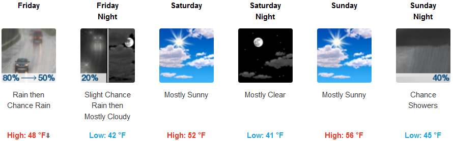
Inland rain is forecast through Friday, with snow levels at around 5000 feet lowering as a colder air mass moves in. Through Friday, morning snow levels will drop to 3500 to 4000 feet. As precipitation moves east into Saturday, patchy and localized areas of frozen fog are possible during early morning hours as low temperatures hover at 32 degress, and highs reach the mid to upper 40’s.
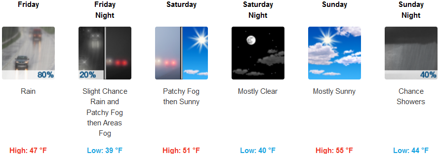
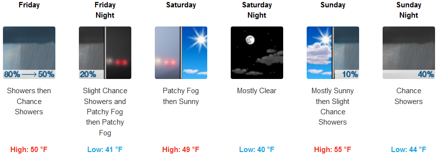
Areas along the southern coast of Oregon and northern California will have High Wind Warnings expire very early Friday morning as chances for rain diminish into Saturday. A break from the steady rain of the past week is forecast Saturday and into Sunday before another area of low pressure moves in late Sunday. High temperatures are expected to be in the low 50’s as the weekend progresses with lows in the low 40’s.
Brookings:
Crescent City:
Gold Beach:
Cave Junction:

Grants Pass:
Medford: