

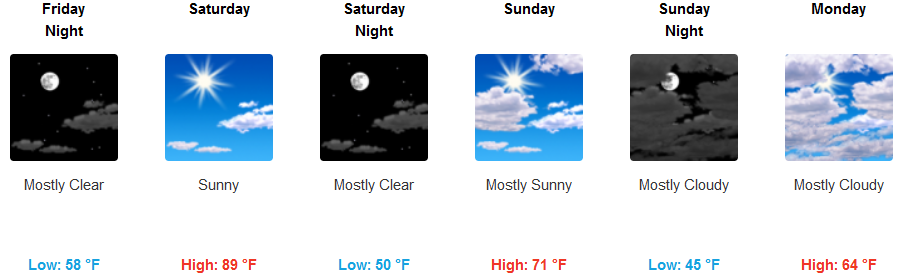
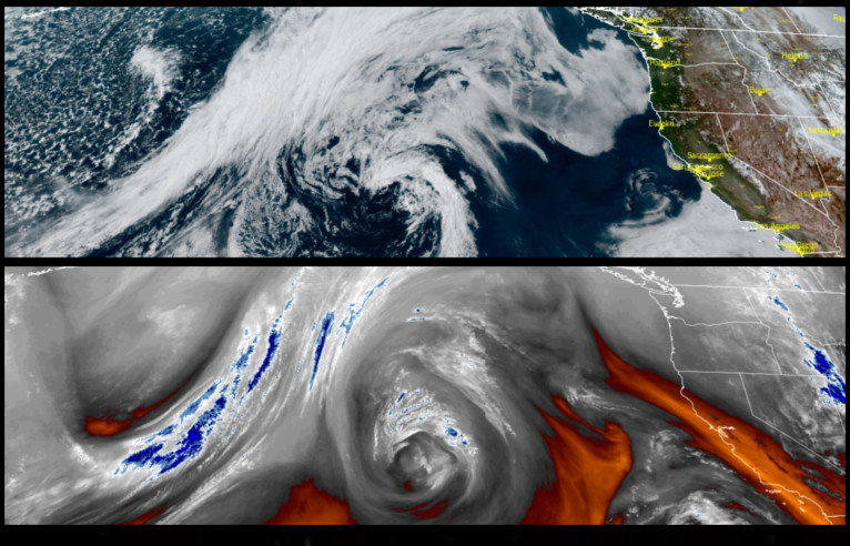
Not much change is forecast in the weather pattern through the weekend, however, change could be on the horizon as the weekend closes. An upper level ridge is expected to keep temperatures above normal across much of the region with mostly sunny skies.
Inland areas will continue to see very warm temperatures, with Friday’s highs possibly reaching the mid 90’s. Patchy localized morning fog should be expected in lower areas, burning off to mostly clear skies by afternoon with temperatures gradually cooling as the weekend progresses.
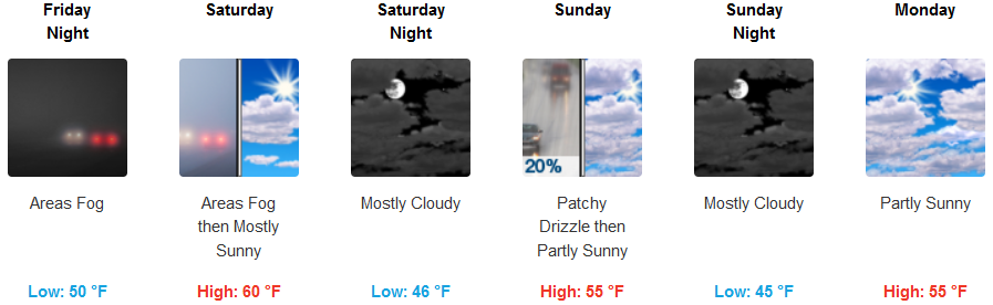
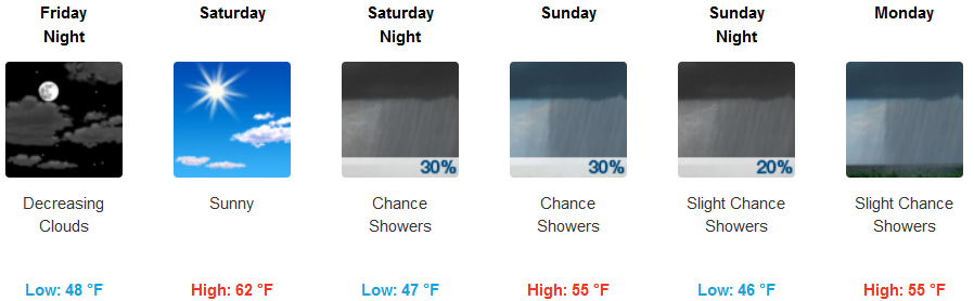
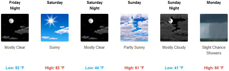
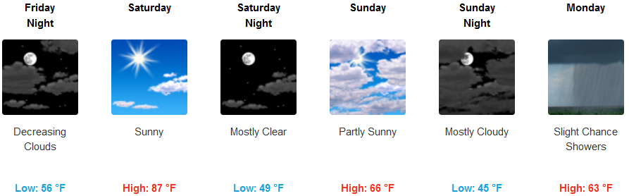
Coastal areas will continue to see much of the same, however, a slight chance of precipitation will come into play late Saturday, Sunday and into Monday as the ridge of high pressure begins to break down. Early morning overcast skies will turn to mostly sunny afternoon skies into Saturday with temperatures remaining relatively mild.
Brookings:

Crescent City:
Gold Beach:
Cave Junction:
Grants Pass:
Medford: