is on Campus")


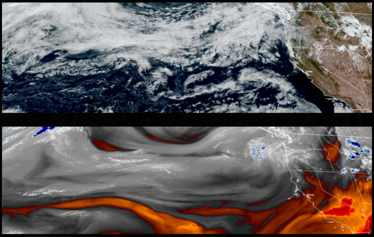
The developing low pressure system off the coast did push down as far as southern Oregon over the weekend producing relatively light precipitation and has now moved to the east. Another upper-level ridge of high pressure is growing off the coast and is expected to return mostly clear skies and warmer temperatures going into the workweek.
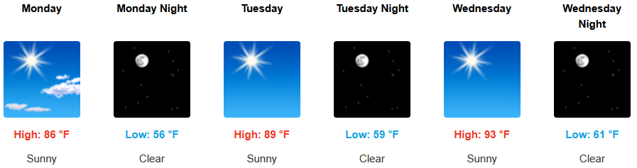
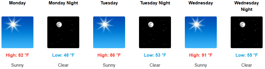
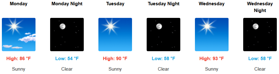
Inland areas, are forecast to see mostly sunny skies and temperature warming as the week progresses, however, remaining below average into midweek, as high temperatures build from the low to mid 80’s to the mid to upper 90’s by midweek with lows in the upper 50’s.
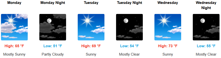
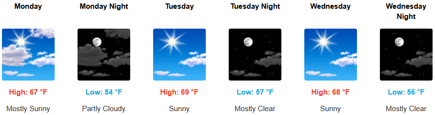
Coastal regions will see a continued morning marine layer along the immediate coast and localized areas of morning fog under partly cloudy to mostly skies. High temperatures are expected to gradually warm to the low to mid 70’s as the work week continues with overnight lows in the low to mid 50’s.
Brookings:
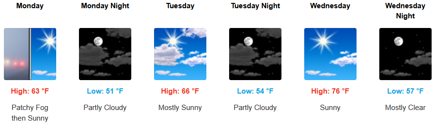
Crescent City:
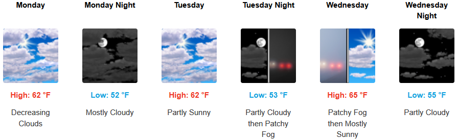
Gold Beach:
Port Orford:
Cave Junction:
Grants Pass:
Medford: