is on Campus")


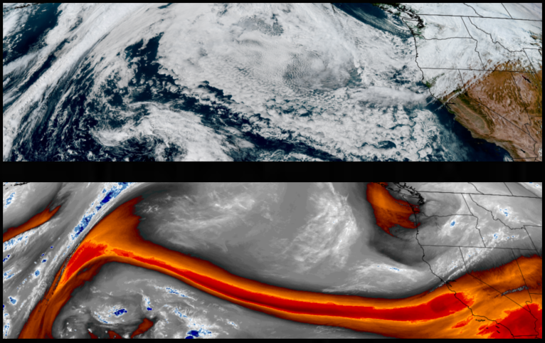
Below normal temperatures with showers mostly along the coast are expected into midweek as a strong trough pushes a frontal system south along the west coast. Widespread precipitation expected Sunday night and Monday, mainly for the coast and Umpqua, with snow levels dropping as low as 3500′ before temperatures gradually warm by midweek.
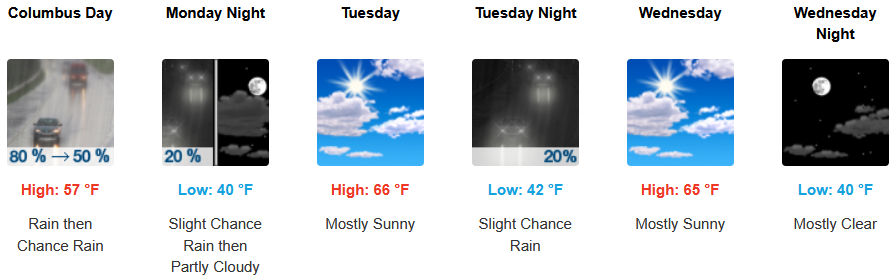
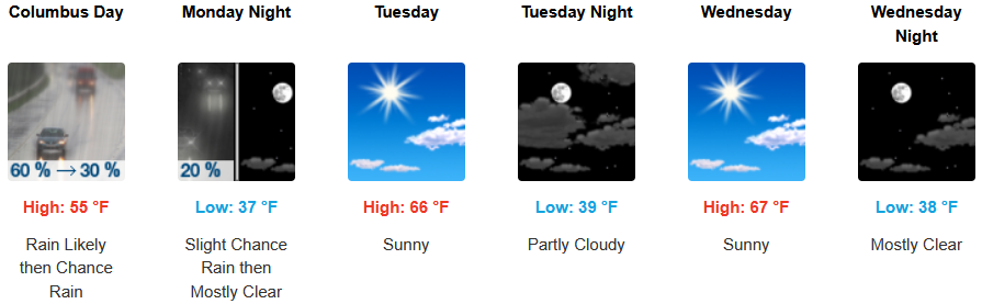
Showers are forecast to continue into Monday morning before clearing to partly cloudy skies. Below normal temperatures will slowly warm into midweek. Afternoon highs are expected to warm from the upper 50’s to the upper 60’s, with lows forecast to be in the upper 30’s to the low 40’s.
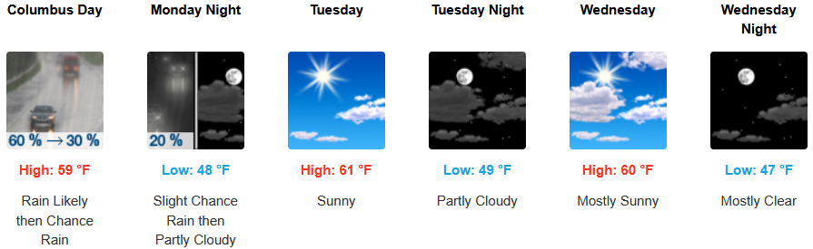
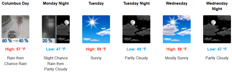
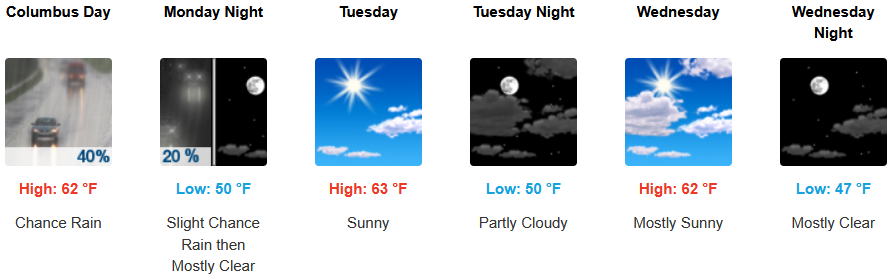
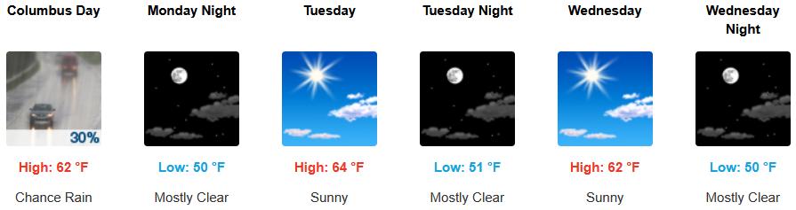
Along the coast, rain is expected through Monday, clearing Tuesday morning with partly cloudy to sunny skies. Temperatures are forecast to be in the mid t50’s for highs in most areas, getting up to the low 60’s as the week progresses with morning lows in the upper 40’s.
Brookings:
Crescent City:
Gold Beach:
Port Orford:
Cave Junction:
Grants Pass:
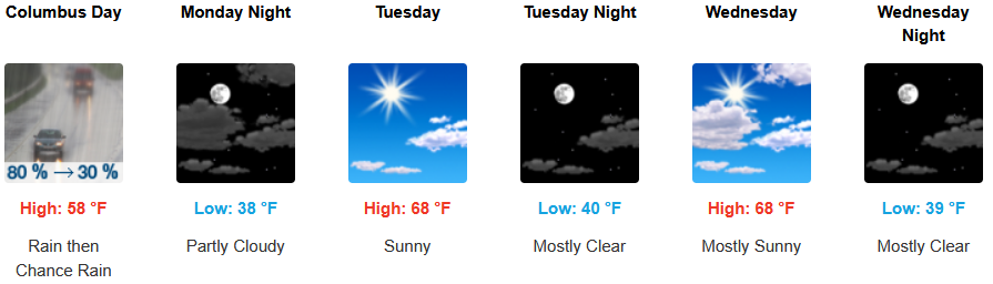
Medford: