is on Campus")


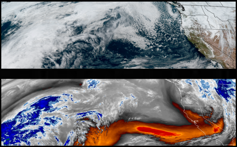
The low pressure circulating off the coast has pushed south and east allowing a cold front and unsettled weather to move into the area bringing more chances for isolated or localized precipitation to the region with stronger chances of rain along coastal regions.
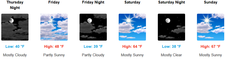
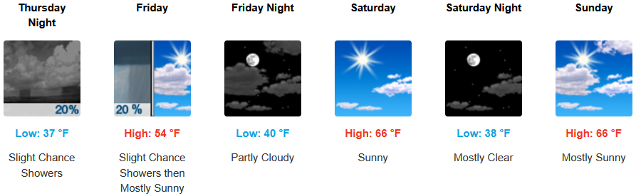
Inland areas are forecast to see showers and chances of showers closeout the workweek before clearing to mostly partly cloudy skies and warmer temperatures. Afternoon highs are expected to finish the week in the upper 50’s, rising to the low 60’s with lows forecast to be in the low 40’s through the weekend.
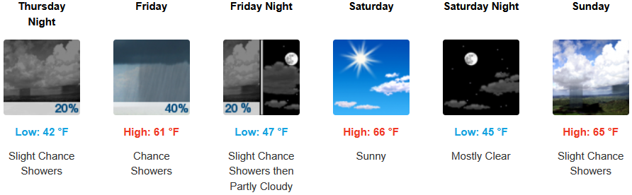
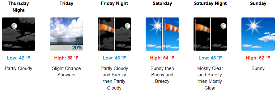
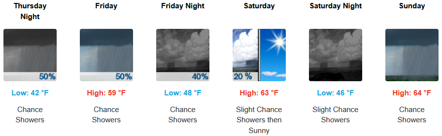
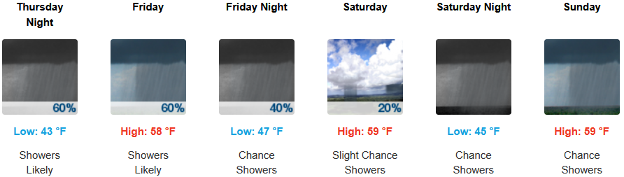
Along the coast, waves of precipitation are expected to continue to into the weekend before chances of showers diminish as the weekend progresses. Highs are expected to finish the week in the upper 50’s, rising to the low 60’s with lows forecast to be in the low to mid 40’s.

Brookings:
Crescent City:
Gold Beach:
Port Orford:
Cave Junction:
Grants Pass:
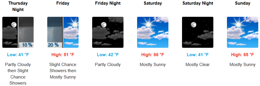
Medford: