is on Campus")


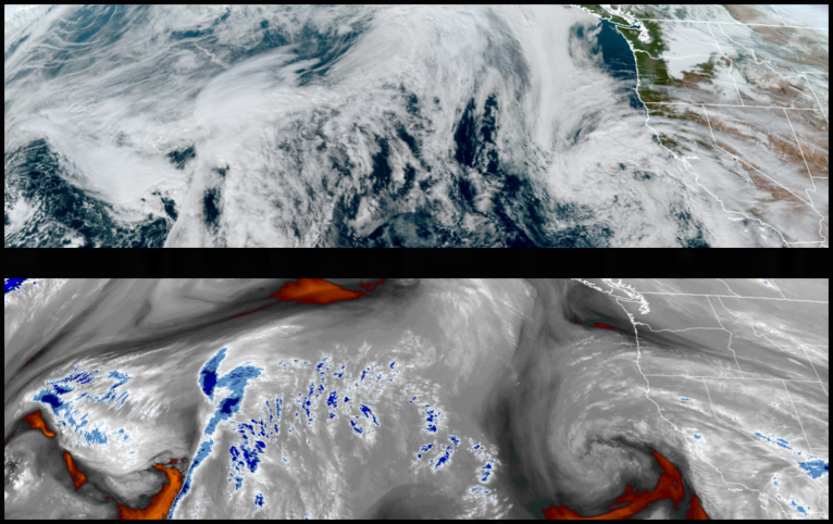
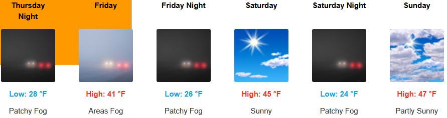
The ridge of high pressure off the northwest coast is continues to push weather systems to the north, however, a low pressure system from the south is beginning to push to the northeast, continuing to deflect weather systems to the north. National Weather Service warnings for dense and freezing fog continue through Thursday under mostly clear and cold skies.
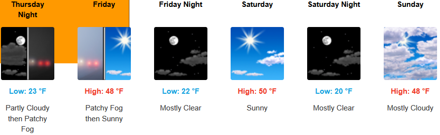
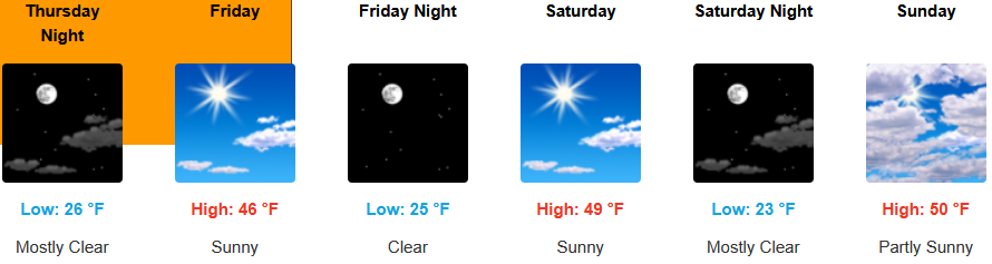
Inland areas are forecast to see mostly sunny skies going into the weekend as weather systems continue to impact areas to the north. The National Weather Service has issued dense freezing fog warnings through Thursday with afternoon highs expected to be in the low 40’s, with lows forecast to be in the upper 20’s to low 30’s.
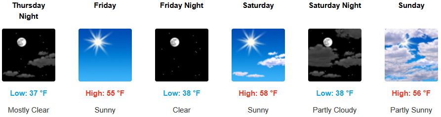
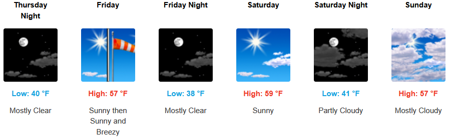
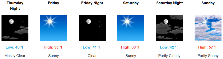
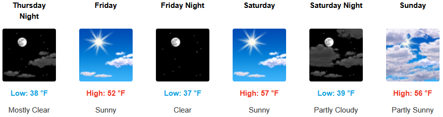
Along the coast, mostly sunny skies and a ridge of high pressure off the coast keep precipitation pushed to the north and cold air moving onshore through the weekend. Temperatures are forecast to be in the mid to upper 50’s for highs, with morning lows in the upper 30’s to the low 40’s.

Brookings:
Crescent City:
Gold Beach:
Port Orford:
Cave Junction:
Grants Pass:
Medford: