is on Campus")


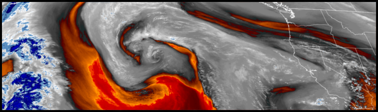
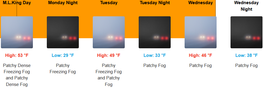
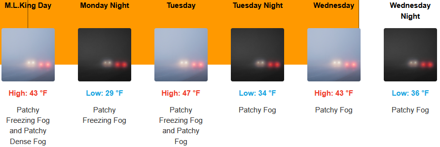
Dense and freezing fog warnings issued by the National Weather Service continue as the ridge of high pressure off the northwest coast is forecast to continue to circulating cold air into the area into midweek before it begins to break down bringing the chance of precipitation.
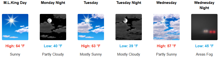
Inland areas are forecast to continue to see mostly sunny skies going into the work week as a ridge of high pressure pushes weather systems to the north. The National Weather Service has issued dense and freezing fog warnings into and through the work week with afternoon highs expected to be in the mid 40’s, with lows forecast to be in the low 30’s.
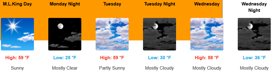
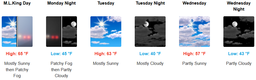
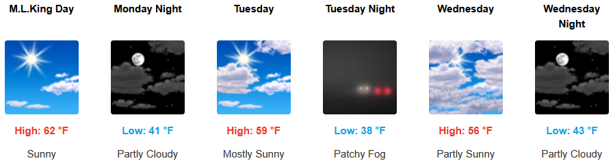
Mostly sunny skies and a ridge of high pressure continue along the coast, keeping precipitation pushed to the north and cold air moving onshore before the possibility of rain moves in later in the week. Temperatures are forecast to be in the upper 50’s to low 60’s for highs, with morning lows in the mid to the low 40’s.

Brookings:
Crescent City:
Gold Beach:
Port Orford:
Cave Junction:
Grants Pass:
Medford: