is on Campus")


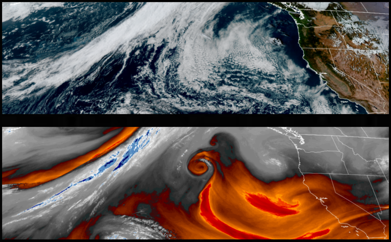
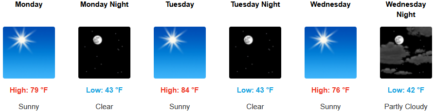
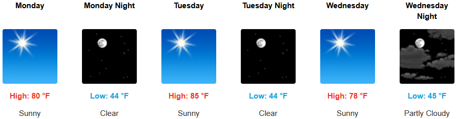
Comfortable weather is forecast to continue as cold air from the Gulf of Alaska begins to circulate to the south behind the ridge of high pressure responsible for providing the recent rounds of mostly clear skies and warm weather through midweek that is now starting to weaken, as it moves to the east.
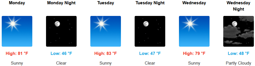
Continued clear skies and warm temperatures are forecast through the middle of the work week before an unstable airmass begins to move over the region late Wednesday. Afternoon highs are expected to be in the low to mid 80’s, with lows forecast to be in the mid to upper 40’s.
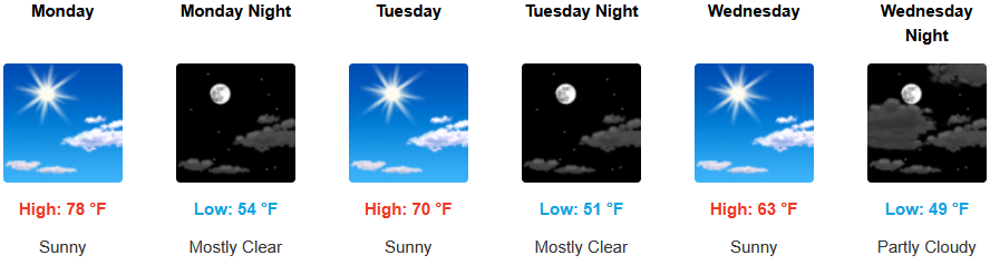
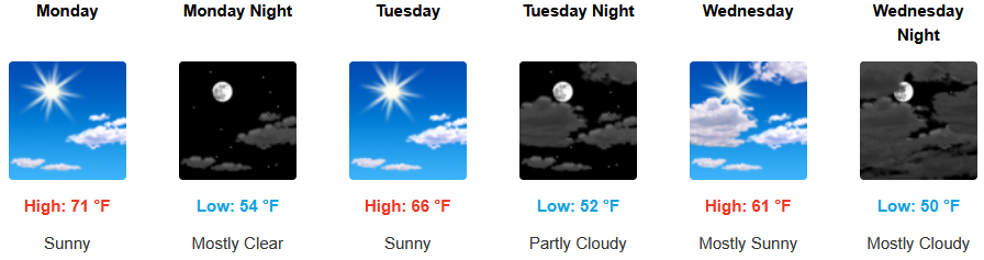
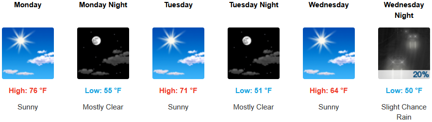
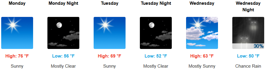
Coastal areas are expected to see mostly clear skies under a morning marine layer burning off by early afternoon along the immediate coast into Wednesday. Temperatures are forecast to be in the low 70’s to start for highs in some areas, cooling to the mid 60’s as the work week progresses with morning lows in the upper 40’s to low 50’s.
Brookings:
Crescent City:
Gold Beach:
Port Orford:
Cave Junction:
Grants Pass:
Medford: