is on Campus")


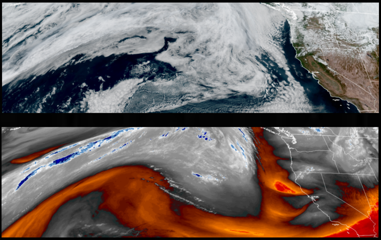
A cooler air mass passing over the region is expected to bring cooler than normal temperatures to end the weekend and start the work week, however, clear to partly cloudy skies will help temperatures to warm beginning late Monday and through mid week.
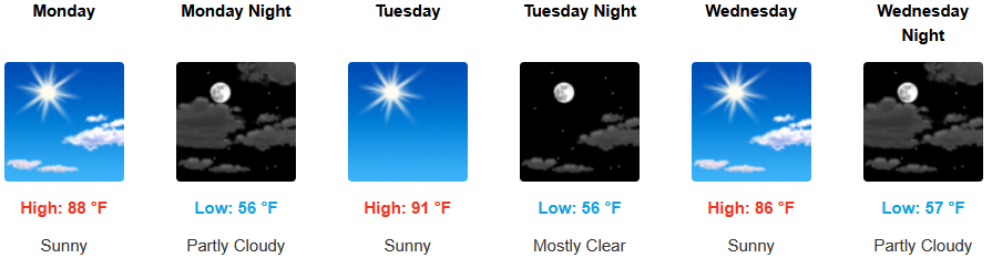
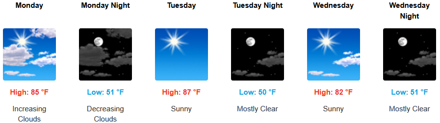
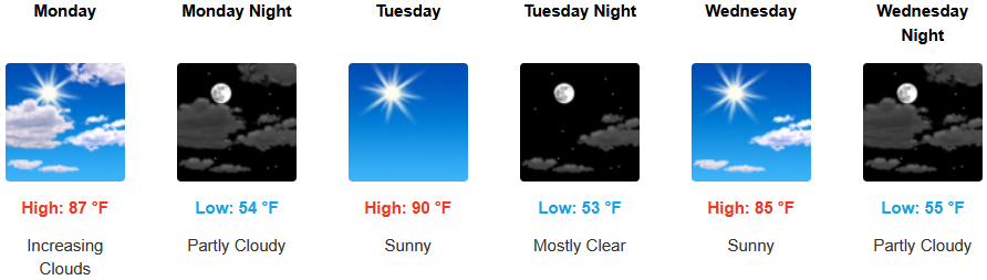
Partly cloudy to mostly sunny skies and cool morning temperatures are forecast for areas inland to start the work week. Temperatures are expected to warm beginning Monday, with afternoon highs expected to reach the mid to upper 80’s to low 90’s with morning lows forecast to be in the mid to upper 40’s to low 50’s.
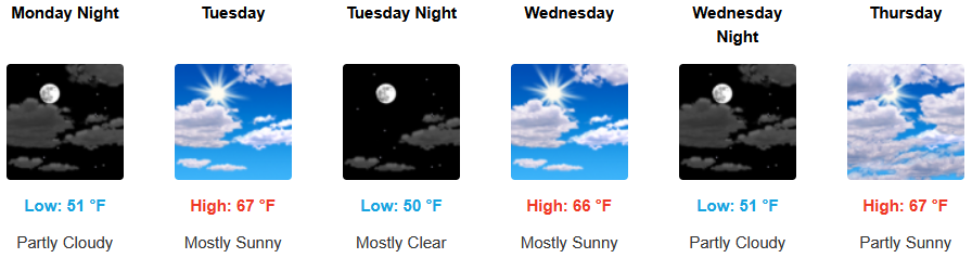
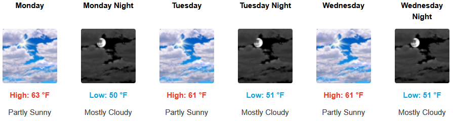
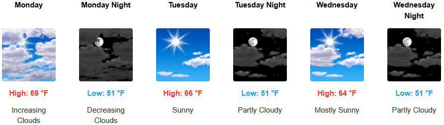
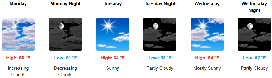
Along the coast, partly cloudy skies will start the work week as the remnants of unsettled weather moves to the east and warmer temperatures move in. A chance of localized early morning fog along the immediate coast is possible with afternoon highs forecast to reach the upper 60’s to low 70’s, with morning lows cooling to the low 50’s.
Brookings:
Crescent City:
Gold Beach:
Port Orford:
Cave Junction:
Grants Pass:
Medford: