is on Campus")


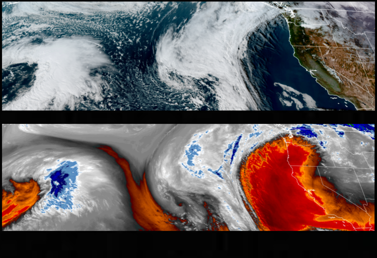
The sunny skies and warm temperatures we have enjoyed these past few days are forecast to give way to a low pressure system circulating off the Pacific Northwest coast that is beginning to move the ridge of high pressure off to the north and east, bringing chances of rain through the weekend.
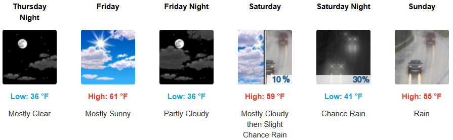
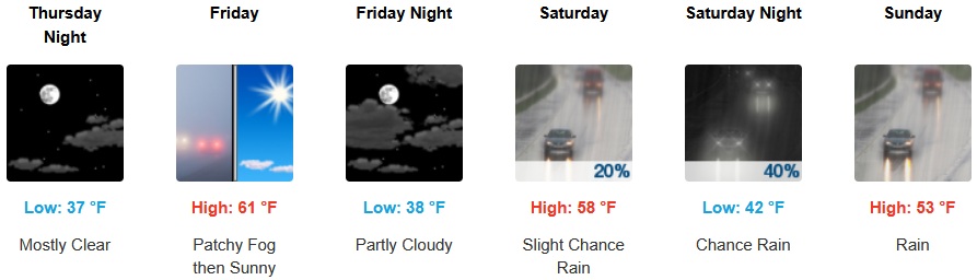
Inland areas can expect to continue to see localized morning fog clearing to sunny afternoon skies to end the workweek, with rain expected late Saturday through Sunday. Afternoon highs are expected to be in the low 60’s falling to the mid to upper 50’s, with lows forecast to be in the mid to upper 30’s.
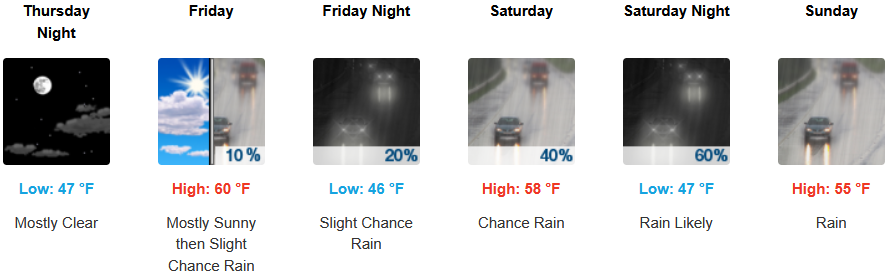
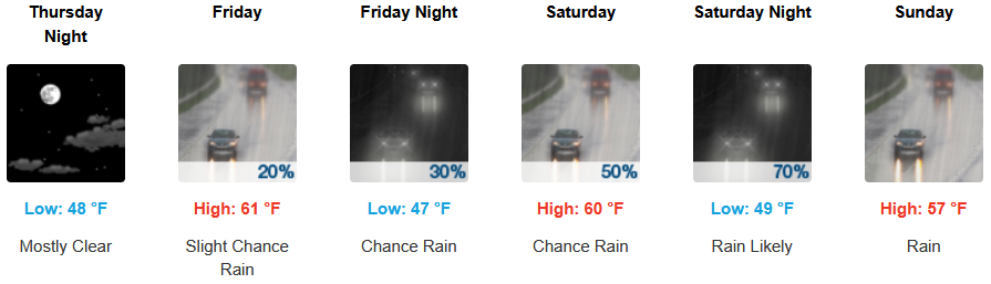
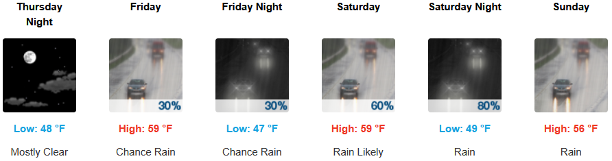
Mostly clear skies and warm temperatures are forecast to continue before rain moves into the area late Friday continuing through the weekend. Temperatures are forecast to be in the upper 50’s to low 60’s for afternoon highs, with morning lows in the mid to upper 40’s.

Brookings:
Crescent City:
Gold Beach:
Port Orford:
Cave Junction:
Grants Pass:
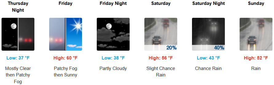
Medford: