is on Campus")


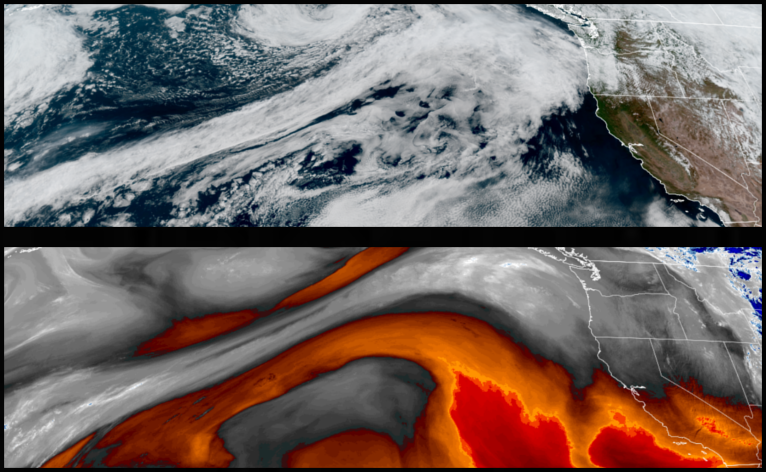
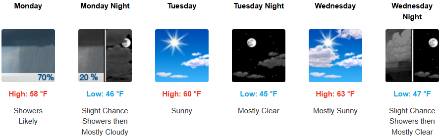
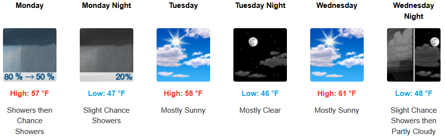
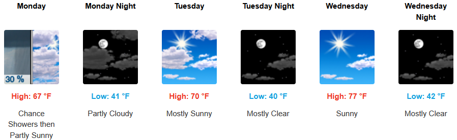
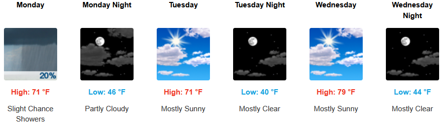
Yet another round of showers is possible to start the work week as another weak low pressure system pushes east, however, high pressure to the south off shore could again keep the weather system to the north leaving minimal impacts to southern Oregon and northern California.
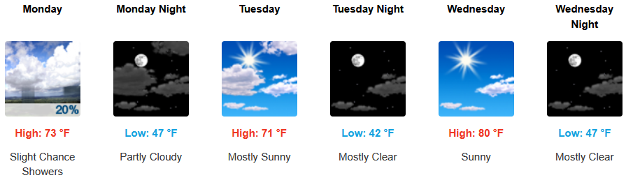
Inland areas should see increasing clouds move into the region late Sunday bringing slight chances of showers through Monday. Lows are expected to be in the mid 40’s, with highs going from the low 70’s to the low 80’s by mid week.
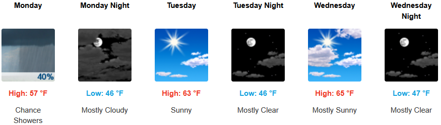
Along the coast, a slight chance for precipitation is expected to develop Sunday evening, continuing into Monday before clearing and warming into midweek Afternoon highs are expected to range in the mid 60’s, with morning lows cooling to the mid to upper 40’s.
Brookings:
Crescent City:
Gold Beach:
Port Orford:
Cave Junction:
Grants Pass:
Medford: