
 is on Campus")


Mostly clear skies and warm temperatures are forecast to continue into midweek as the upper level low begins to move to the east. Unstable air is expected to move into the region as Red Flag Warnings for lightning strikes on dry fuels continue to be issued by the National Weather Service for the south eastern Oregon and bringing the slight possibility of precipitation midweek.
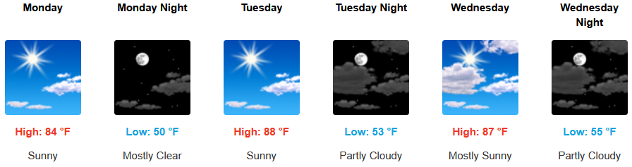
Across inland areas west of the Cascades are forecast to see mostly clear skies and warm to the seasonal highs as National Weather Service Red Flag Warnings for south eastern Oregon continue early in the workweek. Afternoon highs are expected to warm to the mid to upper 90’s with lows forecast in theupper 50’s to low 60’s.
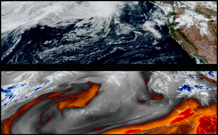
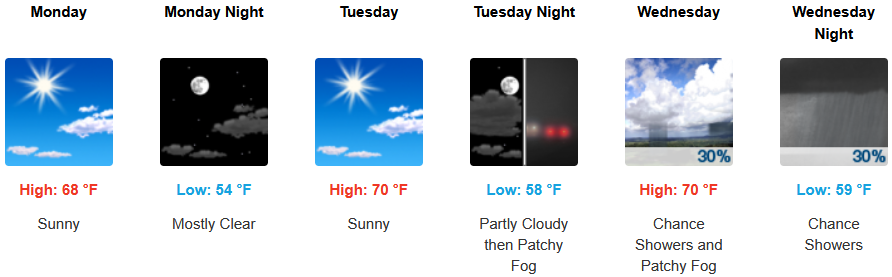
Coastal areas can expect to see more of the same with a continued morning marine layer along the immediate coast and localized areas of morning fog under mostly sunny afternoon skies through midweek. Temperatures are expected to reach the low 70’s for highs in some areas with morning lows in the low 50’s.
Brookings:
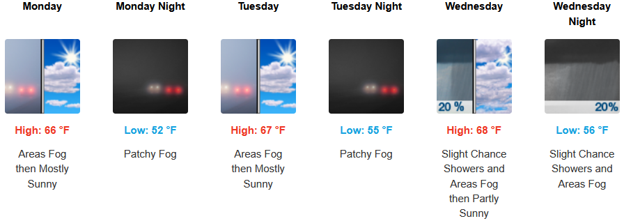
Crescent City:
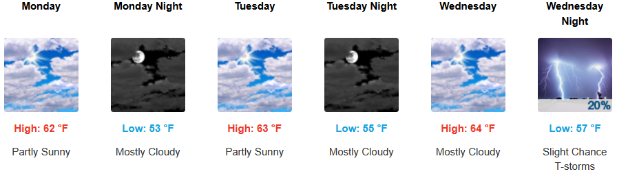
Gold Beach:
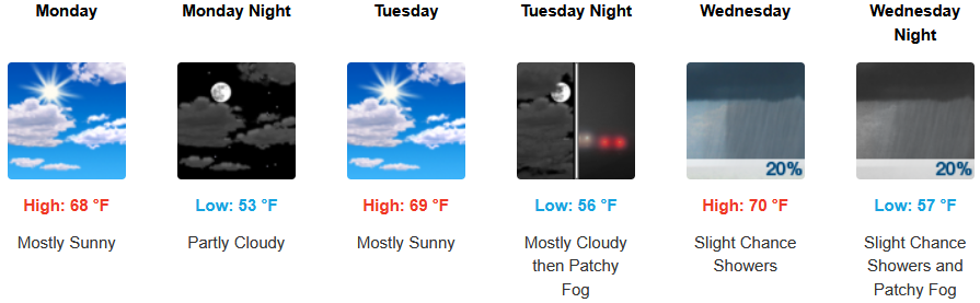
Port Orford:
Cave Junction:
Grants Pass:

Medford:
