is on Campus")


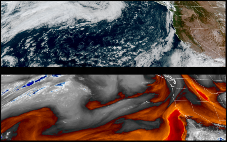
Partly cloudy skies and cool temperatures are expected to continue into the weekend as the northern edge of tropical moisture effecting the southwest begins to circulate an unstable airmass to the north, bringing a slight chance for rain and thunderstorms to areas just north of the southern Oregon and northern California border.
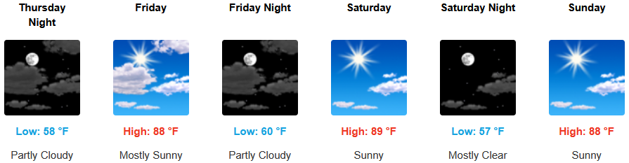
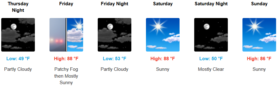
Inland areas are expected continue to see mostly clear skies and warm temperatures going into the weekend. Temperatures are expected to be warm, with afternoon highs expected to range from the mid to high 80’s across the region, with lows forecast to be in the mid 50’s.
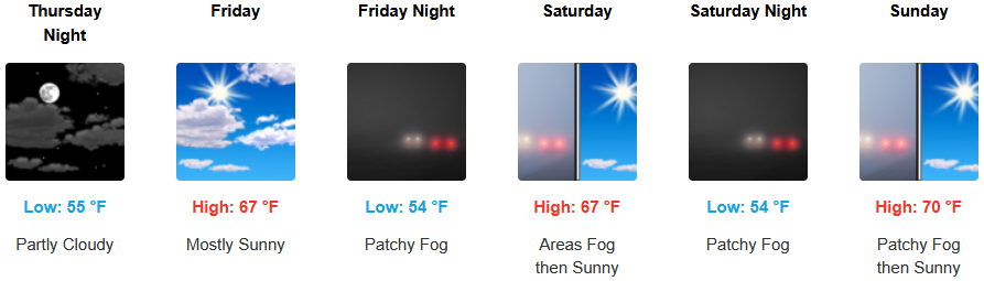
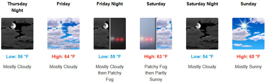
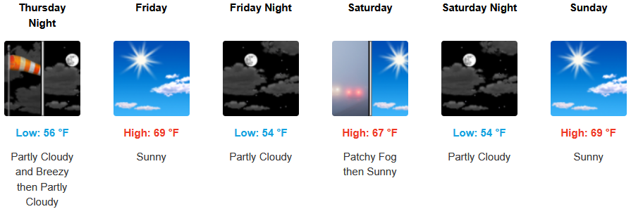
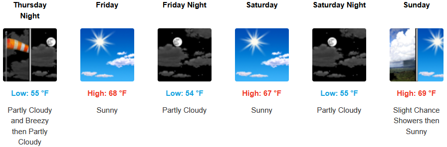
Along the coast, mostly clear skies are forecast to continue into and through the weekend. Localized areas of fog and the usual marine layer along the immediate coast are expected to continue with temperatures expected to be in the upper 60’s to low 70’s for highs in most areas with morning lows in the mid 50’s.
Brookings:
Crescent City:
Gold Beach:
Port Orford:
Cave Junction:
Grants Pass:
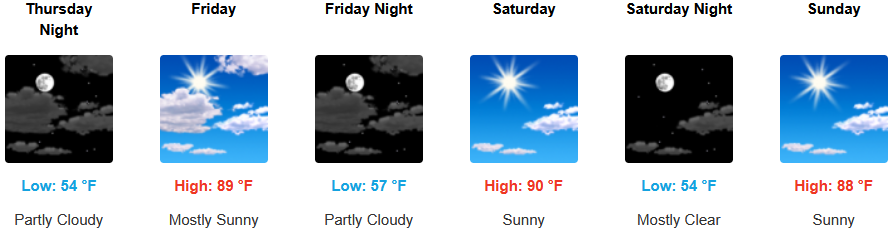
Medford: