is on Campus")


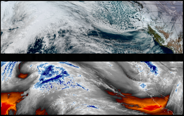
The cold front that moved over the region bringing the cold air, rain, and snow to lower elevation passes is forecast to continue with very cold temperatures under partly cloudy skies through the weekend.
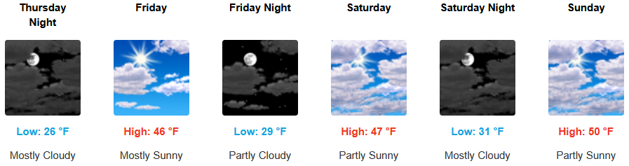
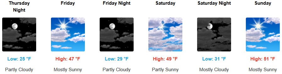
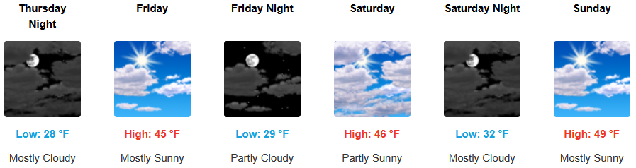
Inland areas can expect slight chances for showers and very cold temperatures with snow levels down to 1200′ through Thursday morning before mostly to partly cloudy skies continue through the weekend. Afternoon highs are expected to be in the mid 40’s, with lows forecast to be in the upper 20’s to low 30’s.
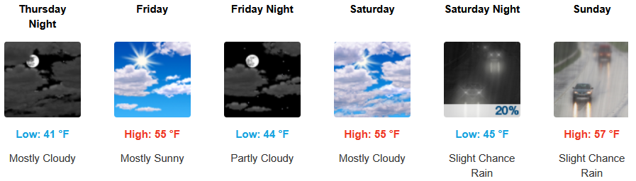
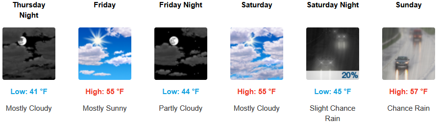
Along the coast, chances of rain continue through Thursday morning with partly cloudy skies continuing into the weekend with precipitation possibly moving into the area late Sunday. Temperatures are forecast to be in the low 50’s for highs, with morning lows in the upper 30’s to the low 40’s.
Brookings:
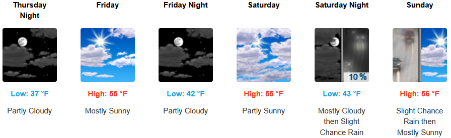
Crescent City:
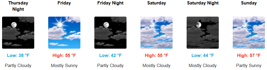
Gold Beach:
Port Orford:
Cave Junction:
Grants Pass:
Medford: