

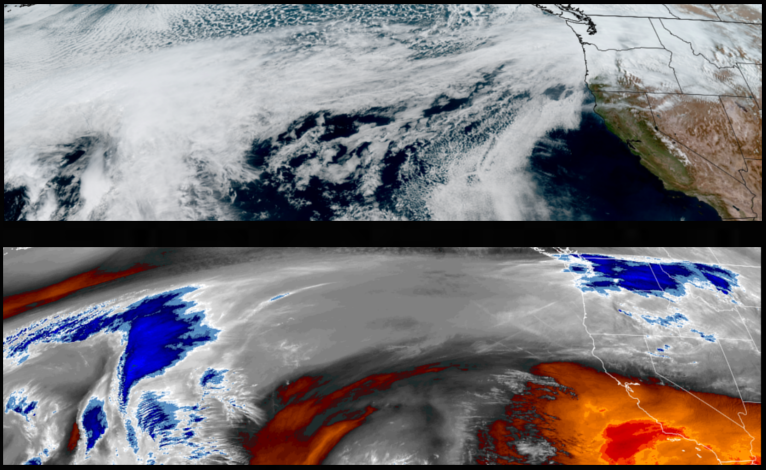
The onshore flow responsible for the cold mornings and partly cloudy afternoon skies that started the week will close out the rest of the week before chances of rain and warmer temperatures return to the forecast into the weekend as warmer air circulates up from the south bringing more mild temperatures.
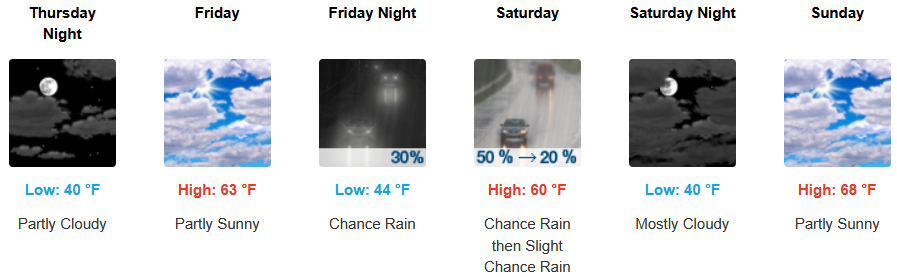
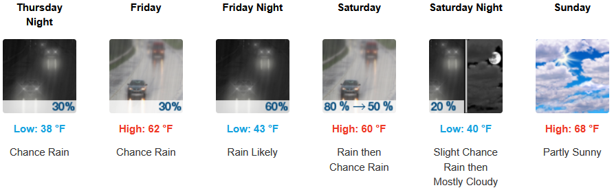
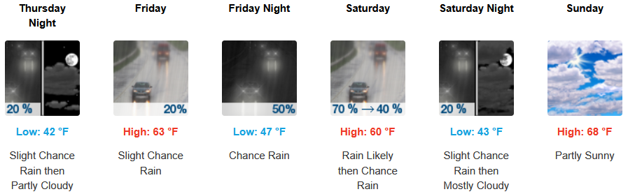
Inland areas are forecast to continue seeing partly cloudy skies before the next weather system moves over the region over the weekend. Afternoon highs will start the week in the mid to upper 60’s, with lows forecast to be in the low to mid 40’s warming as the weekend progresses.
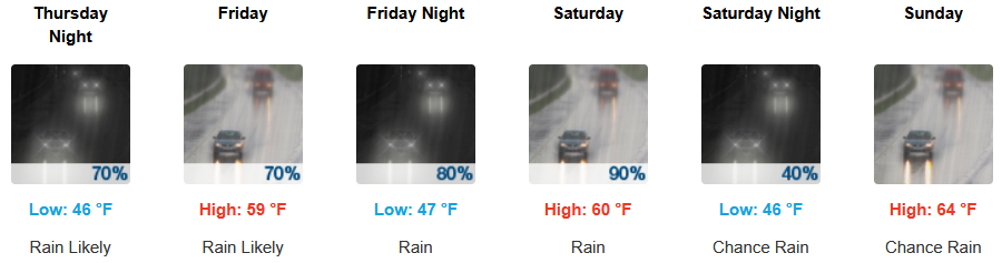
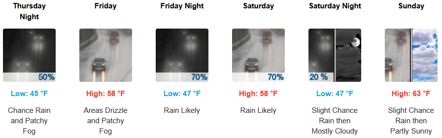
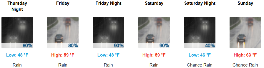
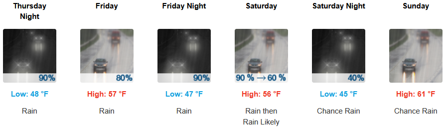
Coastal areas can expect mostly cloudy skies and rain as early as Thursday, with chances of precipitation expected every day to end the work week through the weekend. Highs are expected to be in the mid to upper 50’s to mid 60’s, with lows forecast to be in the mid to upper 40’s.

Brookings:
Crescent City:
Gold Beach:
Port Orford:
Cave Junction:
Grants Pass:
Medford: