is on Campus")


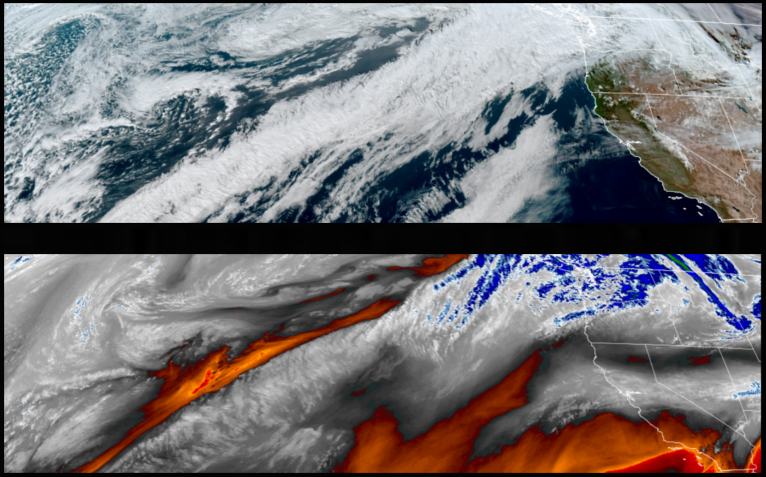
A ridge of high pressure and cold air moved into the area over the weekend and is forecast to remain well into the workweek under mostly clear skies prompting warnings from the National Weather Service regarding freezing snow and black ice.
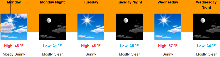
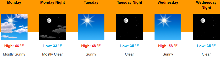
Inland areas are forecast to seek mostly sunny skies to start the workweek a ridge of high pressure pushes weather systems to the north. Afternoon highs are expected to be in the mid 40’s, with lows forecast to be in the low 30’s.
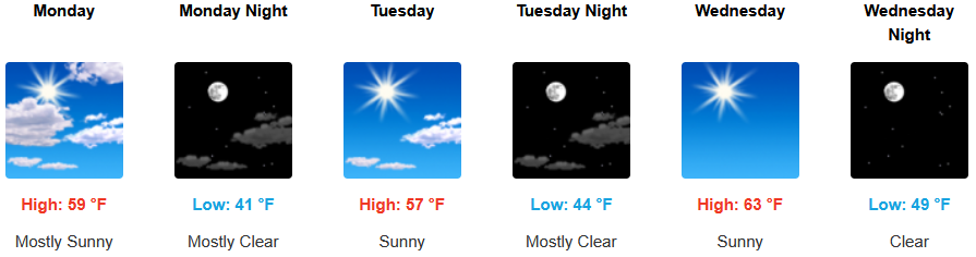
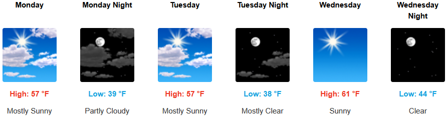
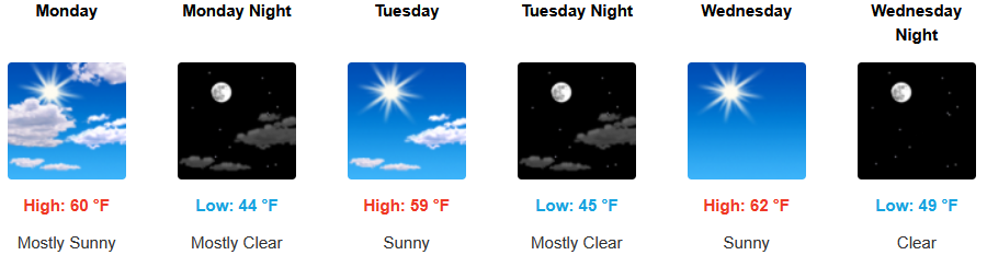
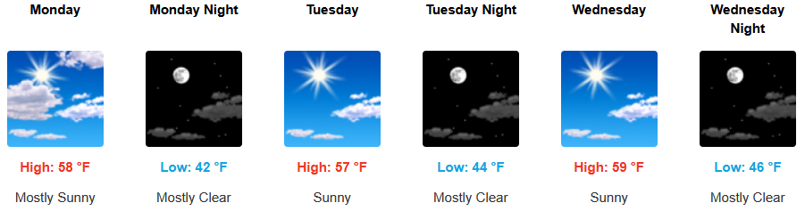
Along the coast, mostly sunny skies and a ridge of high pressure off the coast keep precipitation pushed to the north and cold air moving onshore. Temperatures are forecast to be in the upper 50’s for highs, with morning lows in the mid to the low 40’s.

Brookings:
Crescent City:
Gold Beach:
Port Orford:
Cave Junction:
Grants Pass:
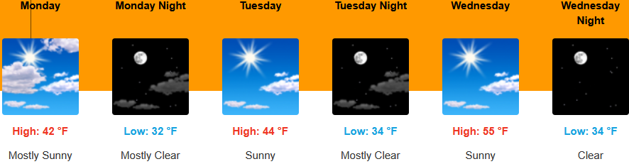
Medford: