is on Campus")


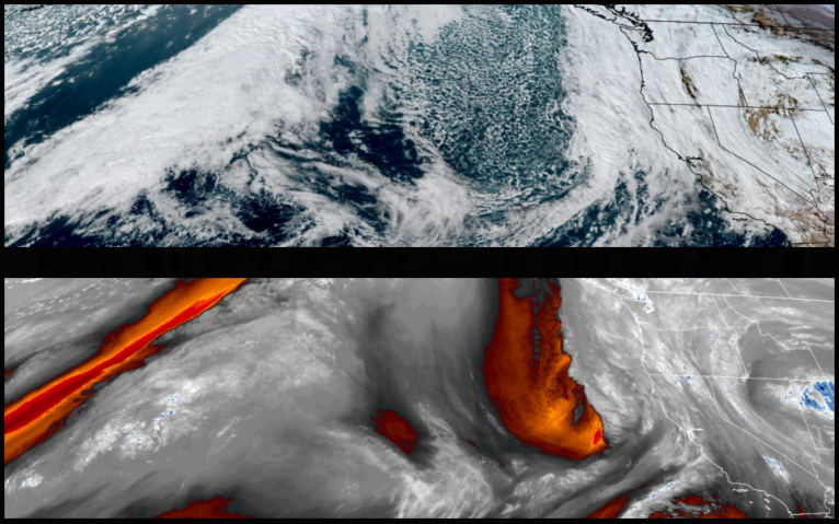
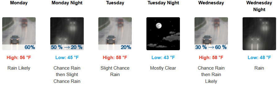
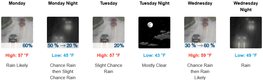
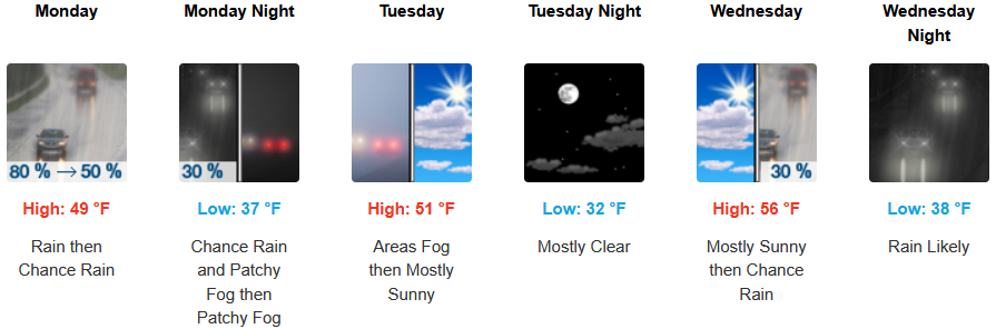
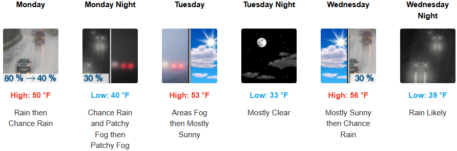
Another weather system moved in Sunday bringing more rain and wind to the region and is expected to continue into Tuesday before a cooler front begins to move inland with more rain forecast for midweek.
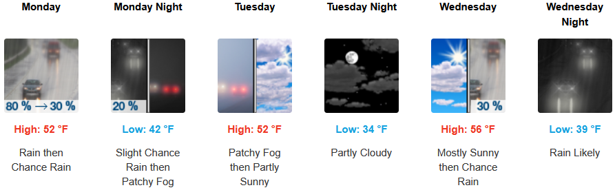
Inland areas are expected to see rain continuing into Tuesday with a short break as cooler air under partly cloudy skies weakens followed by another round of rain into midweek. Afternoon highs are expected to be in the mid 50’s with lows forecast to be in the low 40’s early in the week and dropping to the low 30’s by midweek.
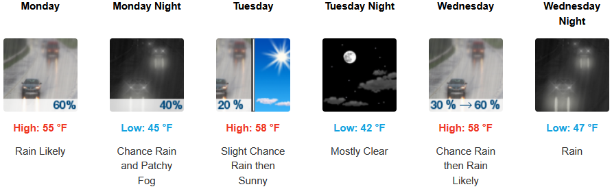
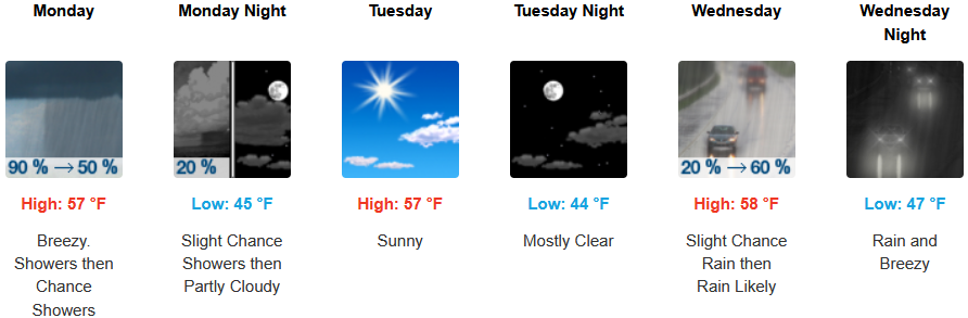
Along the coast, rain is expected into Tuesday with a 10-16mph south wind gusting to 24mph as another weather system moves onshore with more rain Wednesday. Temperatures are forecast to be in the mid to upper 50’s for highs, with morning lows in the low to mid 40’s.
Brookings:
Crescent City:
Gold Beach:
Port Orford:
Cave Junction:
Grants Pass:
Medford: