is on Campus")


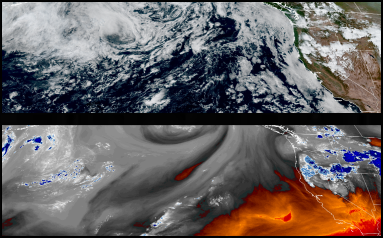
The stagnant upper level low circulating off the northwest coast continues to slowly move east pushing an unstable air mass onshore and continues to prompt warnings from the National Weather Service across northern California and central Oregon for possible lightning strikes through midweek.
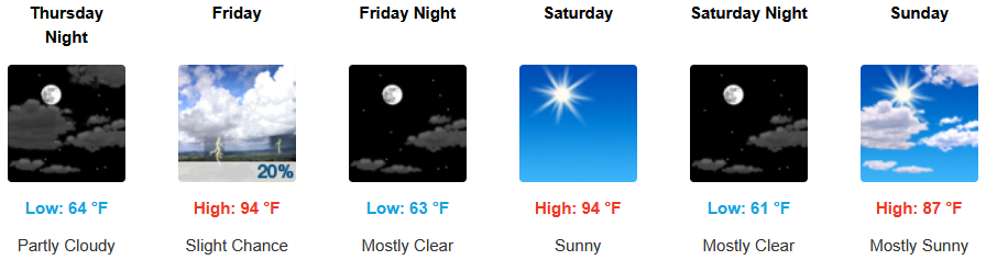
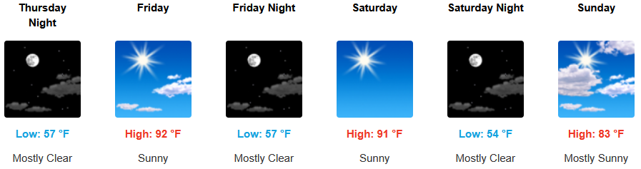
Across inland areas, red flag warnings should be lifted going into the weekend and including Medford, and can expect mostly clear skies and warm temperatures to continue. Afternoon highs are expected to warm to the mid to upper 90’s with lows forecast in the low 60’s.
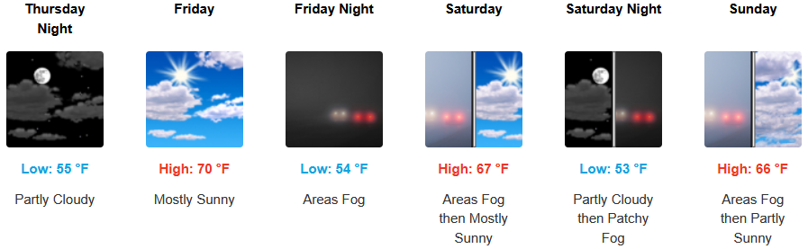
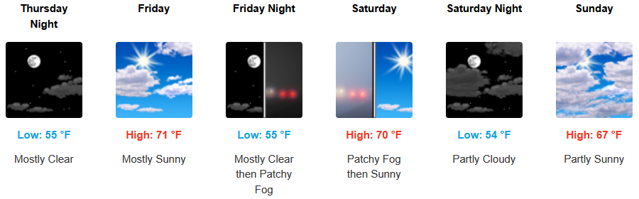
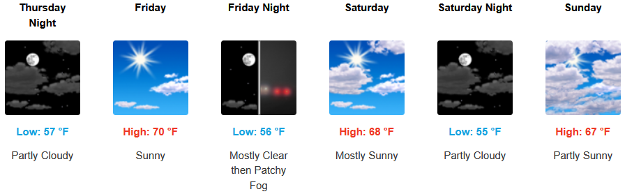
Coastal areas can expect to see more of the same with a continued morning marine layer along the immediate coast and localized areas of morning fog under mostly sunny afternoon skies through midweek. Temperatures are expected to reach the low 70’s for highs in some areas with morning lows in the low 50’s.
Brookings:
Crescent City:
Gold Beach:
Port Orford:
Cave Junction:
Grants Pass:
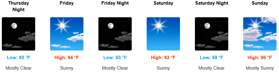
Medford: