is on Campus")


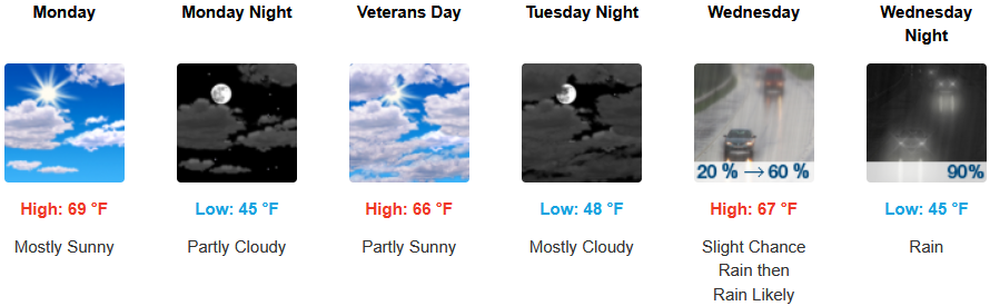
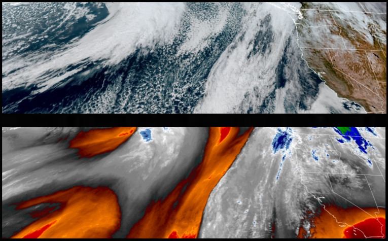
A short break in weather systems is forecast to start the workweek, as a more stable ridge builds over the region with mostly clear sunny skies and mild temperatures into midweek after a slight chance of showers as the bottom edge of a weather system to the north brushes southern Oregon, Monday.
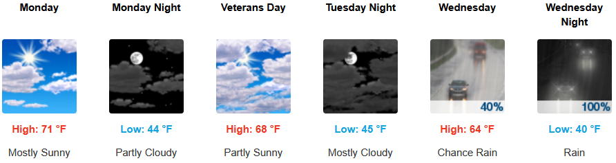
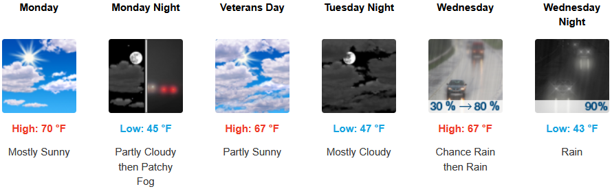
Inland areas are expected to see partly cloudy to mostly sunny skies with localized areas of fog before cloudy skies return with significant chances of rain Wednesday. Afternoon highs are expected to be in the upper 60’s to low 70’s into Wednesday, with lows forecast to be in the low 50’s.
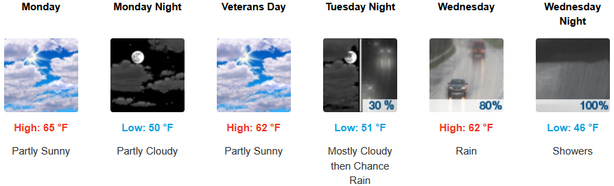
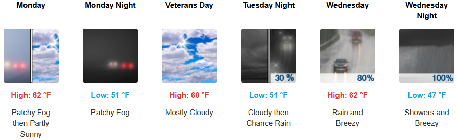
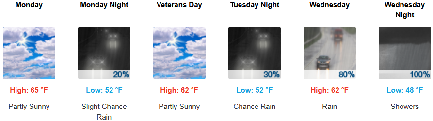
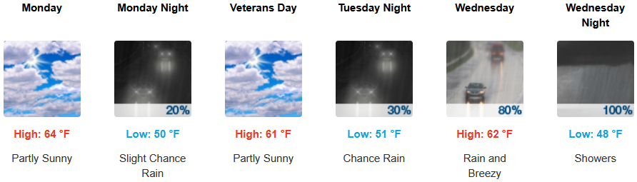
Partly cloudy to mostly sunny skies are forecast along the coast with the possibility of a morning marine layer along the immediate coast and localized areas of fog before a low pressure system moves onshore bringing rain Wednesday. Temperatures are forecast to be in the low to mid 60’s for highs, with morning lows in upper 40’s.
Brookings:
Crescent City:
Gold Beach:
Port Orford:
Cave Junction:
Grants Pass:
Medford: