is on Campus")


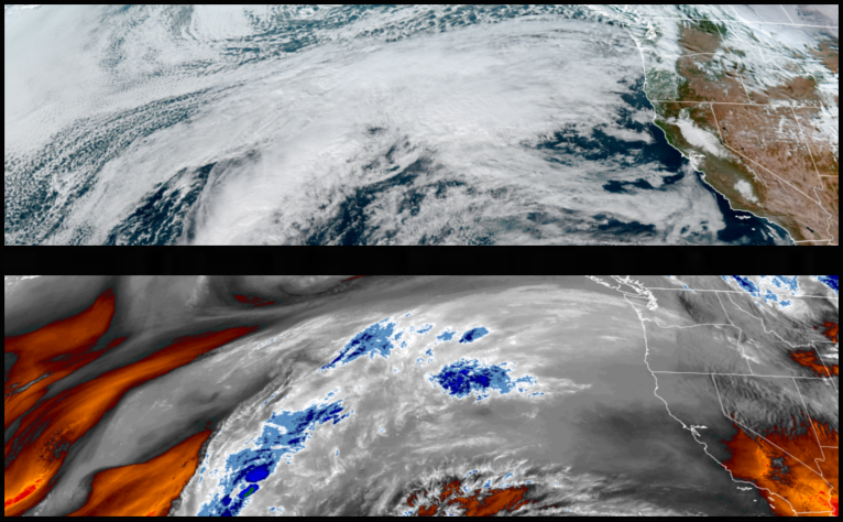
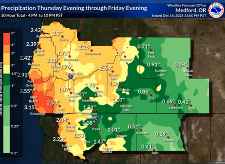
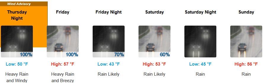
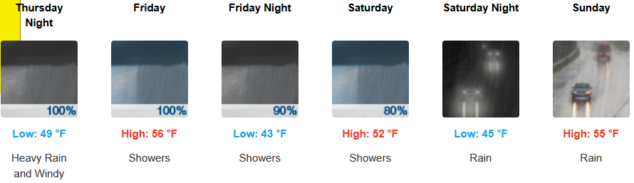
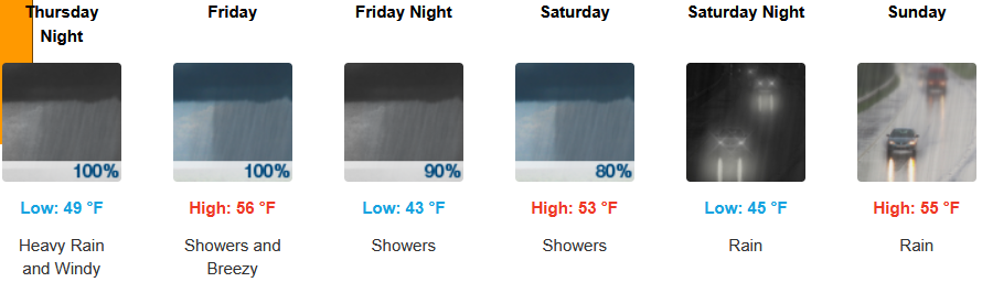
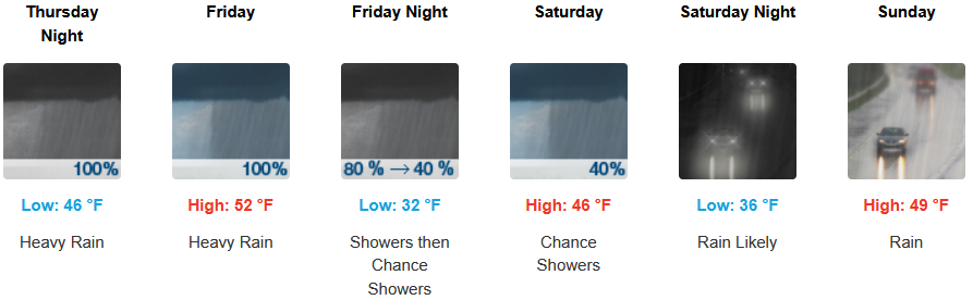
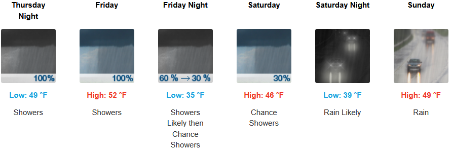
The National Weather Service has issued a High Wind Warning and a Storm Warning into the weekend as a strong ‘atmospheric river’ is expected to impact the Oregon and northern California coasts with moderate to heavy rainfall forecast to impact Coos, Curry, Douglas and Josephine Counties into the weekend.
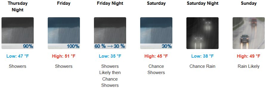
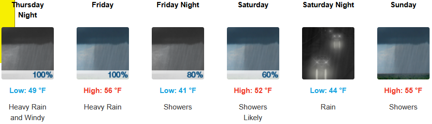
After a short break Wednesday, rain is forecast to return to inland areas as early as early Thursday morning with winds up to 12mph continuing through the weekend with high snow levels falling to the 3100 to 3900ft as cooler air moves in over the weekend. Afternoon highs should be in the upper 40’s to mid 50’s, with lows forecast to be in the low 40’s to upper 30’s.
Along the coast, rain, heavy at times, is expected late Wednesday through the weekend, with wind gusting from to 31mph as another cooler weather system moves into the area later in the week. Temperatures are forecast to be in the mid 50’s for highs, with morning lows in the mid to upper 40’s.
Brookings:
Crescent City:
Gold Beach:
Port Orford:
Cave Junction:
Grants Pass:
Medford: