is on Campus")


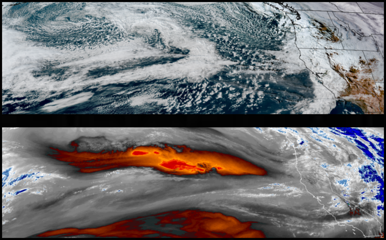
Strong weather systems with moderate to heavy rainfall, possible localized flooding, gusty to high winds, and high mountain snow elevations into the weekend. A cold front following these weather systems is likely Friday before partly sunny skies return through the weekend.
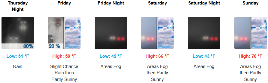
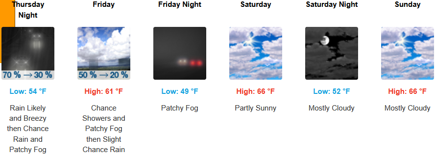
Rain and possible thunderstorms are forecast to close the workweek for Inland areas before partly cloudy skies return Saturday and continue through the weekend. Afternoon highs are expected to be in the upper 50’s before warming to the upper 60’s over the weekend, with lows forecast to be in the low 50’s falling to the low 40’s over the weekend.
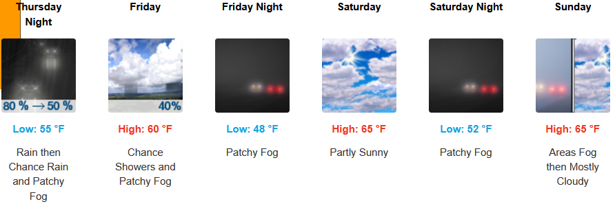
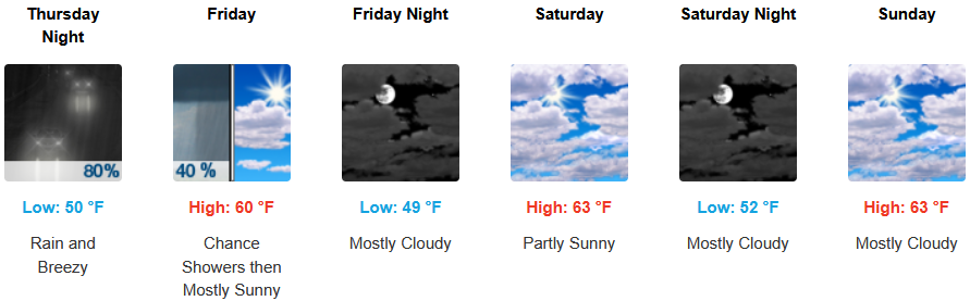
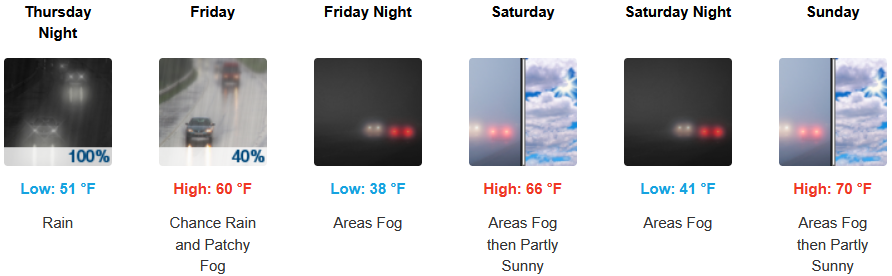
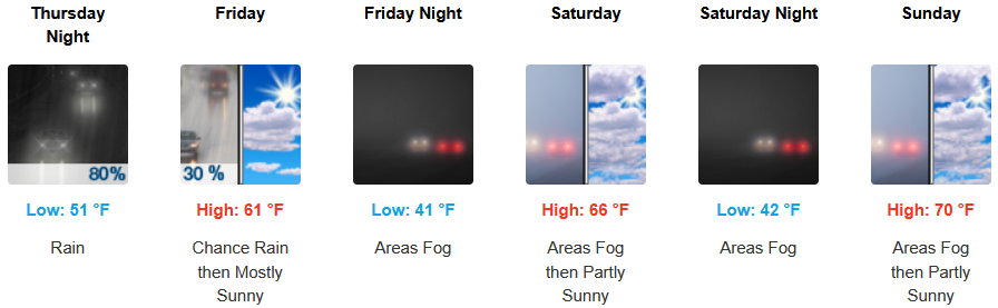
Along the coast, moderate to heavy rain with possible thunderstorms and a south wind gusting to 30mph is expected to continue into the weekend before a colder front moves into the area Friday bringing cooler temperatures and localized fog under partly cloudy afternoon skies. Temperatures are forecast to be in the upper 50’s to the low to mid 60’s for highs, with morning lows in the mid to upper 40’s.
Brookings:
Crescent City:
Gold Beach:
Port Orford:
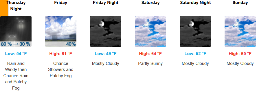
Cave Junction:
Grants Pass:
Medford: