is on Campus")


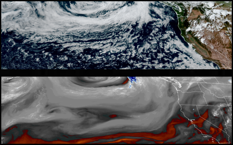
As the upper level low responsible for the warm weather and thunderstorms continues to slowly move east, the unstable air mass continues to prompt warnings from the National Weather Service across northern California and central Oregon for possible lightning strikes early in the work week.
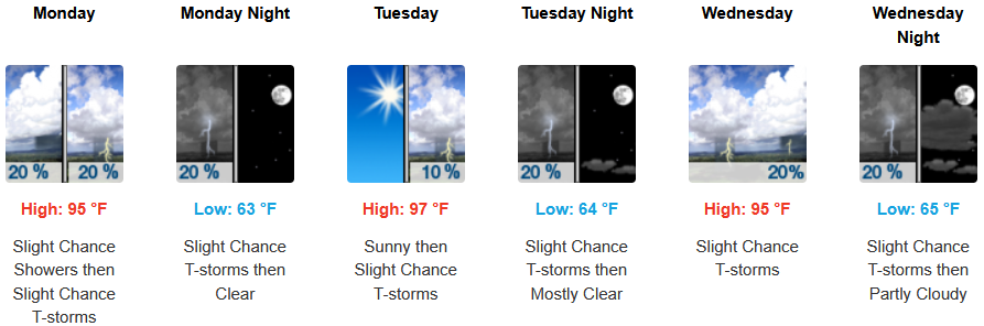
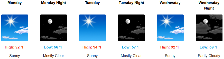
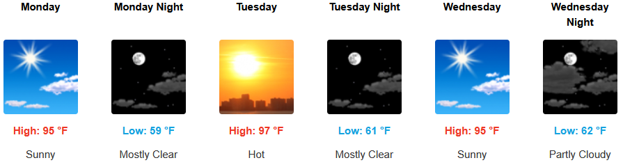
Across inland areas including Medford, can expect the mostly clear skies and warm temperatures to continue, however, areas of south central Oregon and northern California could experience thunderstorms as unstable air continues to create conditions for lightning strikes on dry fuels early in the work week. Afternoon highs are expected to warm to the mid to upper 90’s with lows forecast in the low 60’s.
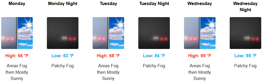
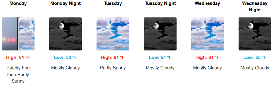
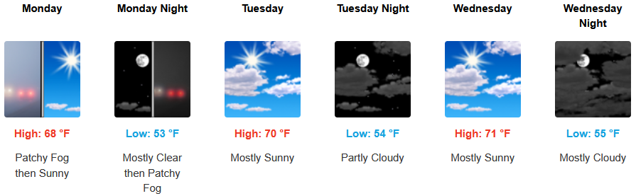
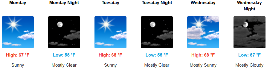
Coastal areas will continue to see the possibly of a morning marine layer along the immediate coast and localized areas of morning fog under mostly sunny afternoon skies through midweek. Temperatures are expected to reach the upper 60’s for highs in some areas with morning lows in the low 50’s.
Brookings:
Crescent City:
Gold Beach:
Port Orford:
Cave Junction:
Grants Pass:
Medford: