
 is on Campus")


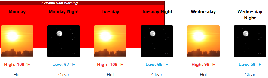
The high pressure system bringing the clear skies and hot temperatures circulating off the coast has very slowly moved east and is responsible for the continued Extreme Heat Warnings from the National Weather Service across southern Oregon and northern California through midweek.
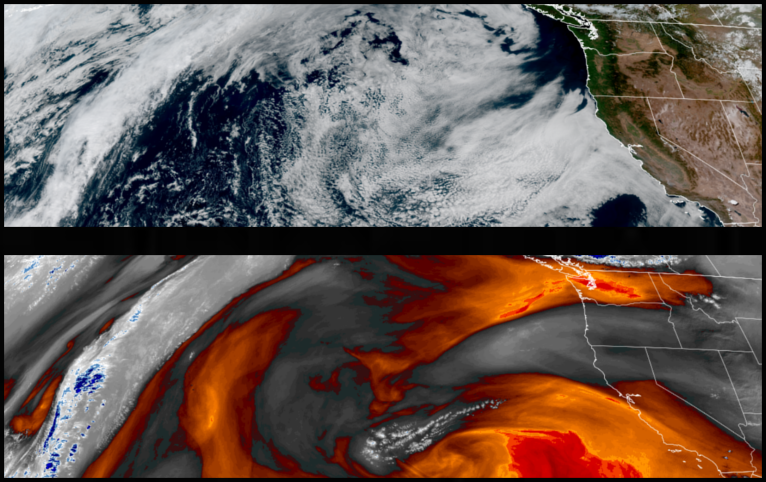
Inland areas are forecast to see continue seeing clear skies and Extreme Heat Warnings through midweek. Afternoon highs are expected to continue to mid to high triple digits to start the work week with little relief overnight with lows forecast in the low to mid 70’s.
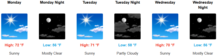
Along the southern Oregon and northern California coastal areas temperatures are forecast to cool into the workweek as early as Sunday, however, very warm inland temperatures and a strong off-shore flow could possibly trigger a Chetco effect, as it pulls hot air from inland to the coast. Temperatures are expected to reach the low 70’s for highs in some areas with morning lows in the upper 50’s.
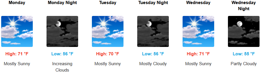
Brookings:
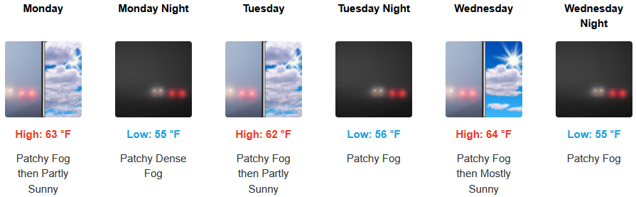
Crescent City:
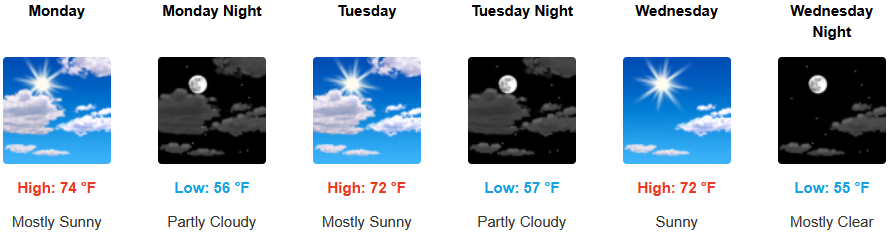
Gold Beach:
Port Orford:
Cave Junction:

Grants Pass:
Medford:
