is on Campus")


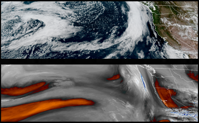
An established ridge of high pressure off the coast is expected to bring mostly clear skies and above average temperatures into the region into and through much of the weekend before the ridge begins to break down late in the weekend with increasing clouds and cooler temperatures.
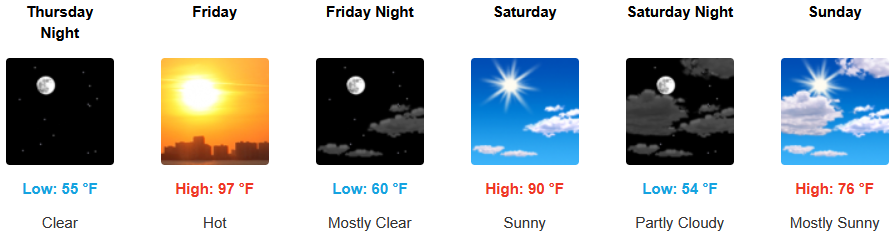
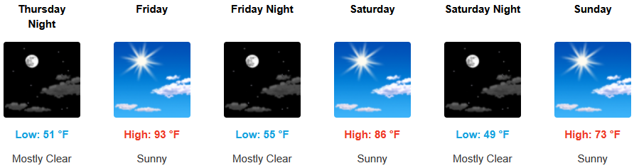
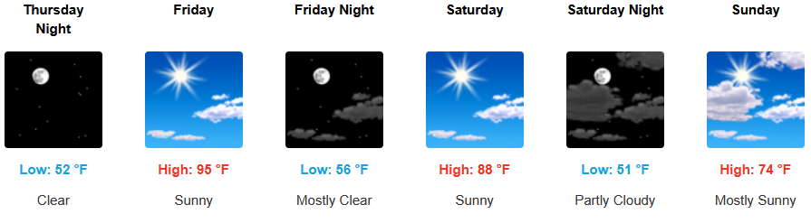
Mostly sunny to partly cloudy skies are expected inland into the weekend with temperatures getting close to triple digits before cooler weather under increasing clouds begin to move in late Saturday. Lows are expected to be in the low 50’s, with highs reaching the mid to upper 90’s.
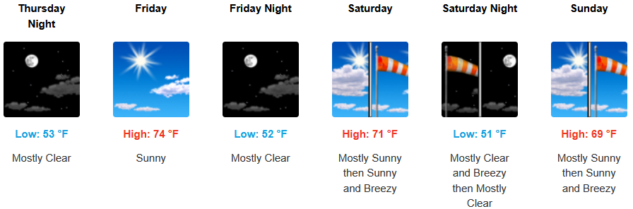
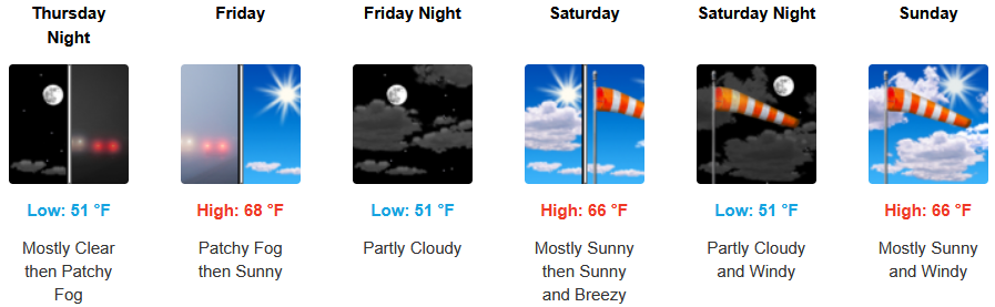
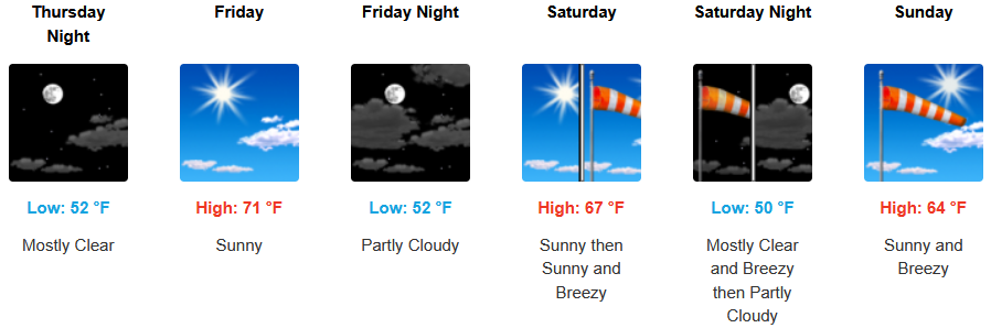
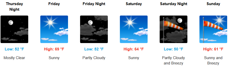
Along the coast, localized fog and marine layer will start the day under mostly sunny skies and warm afternoon temperatures are forecast for the remainder of the work week with gusty winds developing into the weekend. Afternoon highs are expected to reach the mid to upper 70’s in some areas, with morning lows cooling to the upper 40’s.
Brookings:
Crescent City:
Gold Beach:
Port Orford:
Cave Junction:
Grants Pass:
Medford: