is on Campus")


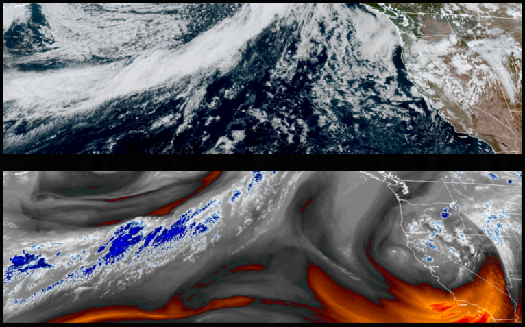
An unsettled airmass continues to remain over eastern Oregon and northern California and continues to circulate showers and thunderstorms over the region, prompting flood watches across eastern Oregon. Localized showers continue to be in the forecast with partly cloudy skies increasing chances of showers into the weekend.
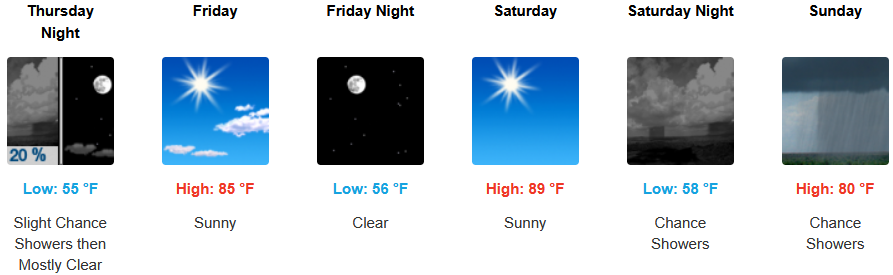
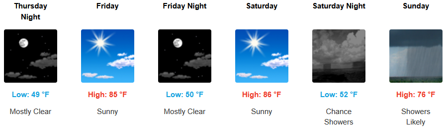
Inland areas can expect a mixed bag through the weekend with a short break going into the weekend before chances of showers move in to end the weekend. Temperatures are expected to remain relatively warm with afternoon highs are expected to range from the mid to high 80’s across the region, with lows forecast to be in the mid 50’s.
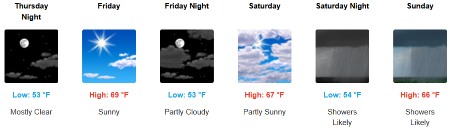
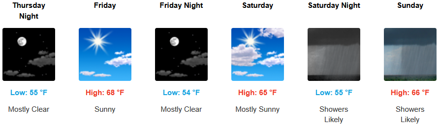
Along the coast, unsettled weather is forecast to close out the workweek with a short break going into the weekend. Localized areas of fog and the usual marine layer along the immediate coast are expected to continue into the weekend with the possibility of showers late in the weekend. Temperatures are expected to stay in the mid 60’s for highs in most areas with morning lows in the mid 50’s.
Brookings:
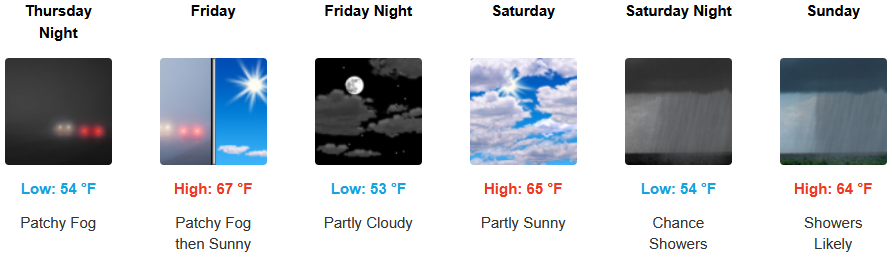
Crescent City:
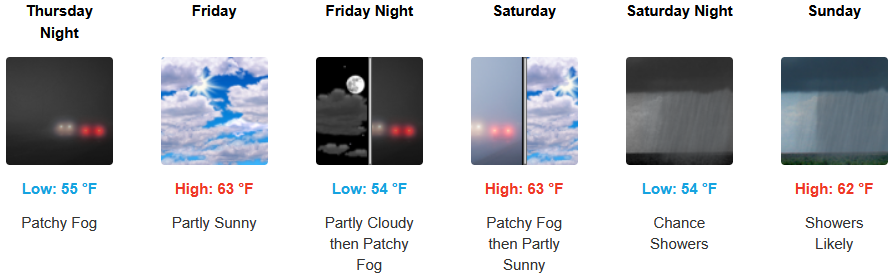
Gold Beach:
Port Orford:
Cave Junction:
Grants Pass:
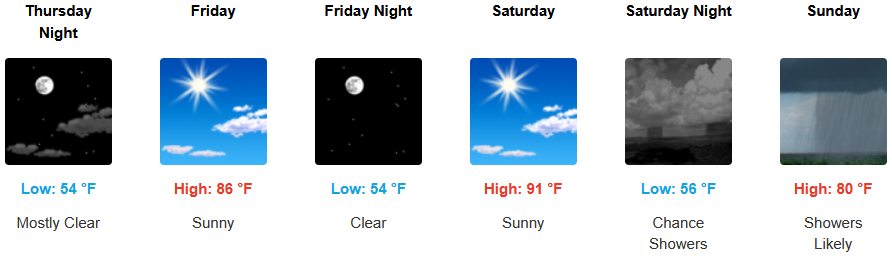
Medford: