is on Campus")


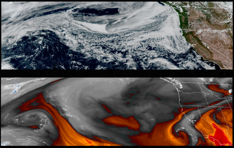
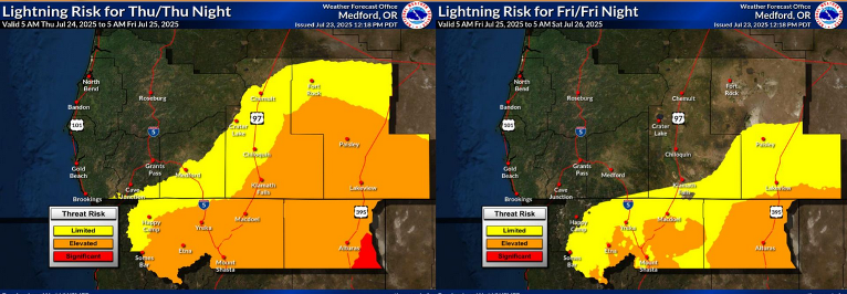
An upper level low pressure system is slowing pushing onshore in the Pacific Northwest and northern California. This system is not expected to produce much in the way of precipitation, however, the unstable air mass has prompting Red Flag Warnings by the National Weather Service across northern California and central Oregon due to possible lightning strikes through Thursday evening.
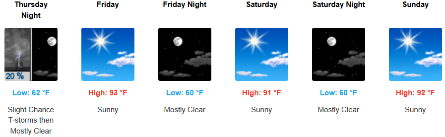
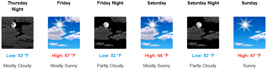
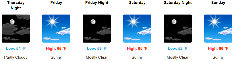
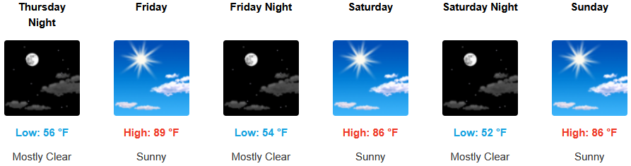
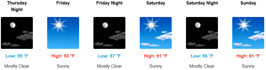
Inland areas can expect the mostly clear skies and warm temperatures to continue, however, areas of south central Oregon and northern California are under Red Flag Warnings by the National Weather Service as unstable air creates conditions for for lightning strikes on dry fuels through Thursday night. Afternoon highs are expected to warm to the low to mid 90’s with lows forecast in the low to mid 60’s.
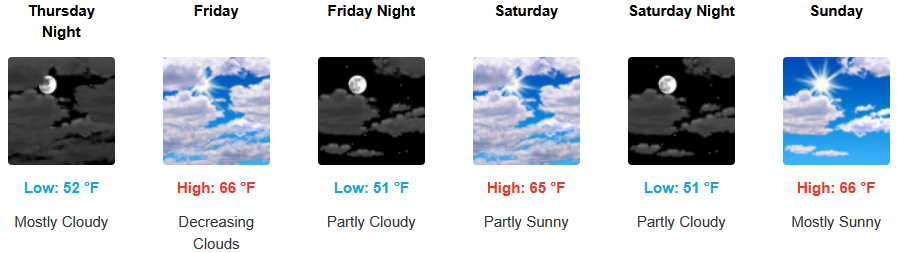
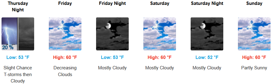
Coastal areas will continue to possibly see a morning marine layer along the immediate coast and localized areas of morning fog continue to be possible. However, the northern California coast could see lighting through Thursday evening. Temperatures are expected reaching the mid 60’s for highs in some areas with morning lows in the low 50’s.
Brookings:
Crescent City:
Gold Beach:
Port Orford:
Cave Junction:
Grants Pass:
Medford: