

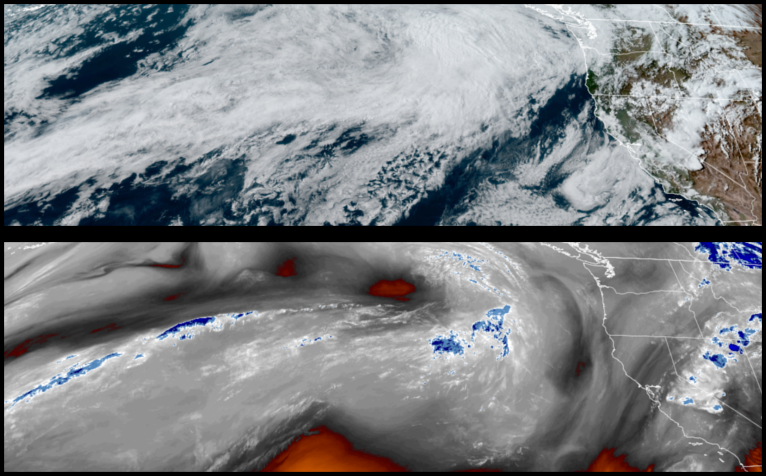
A cold front low pressure system is beginning to move on shore as the remnants of the spring like weather pattern we enjoyed moves off to the east, bringing rain and cooler temperatures going into the weekend.
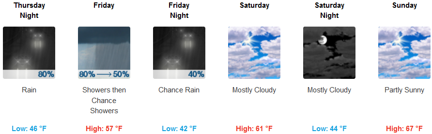
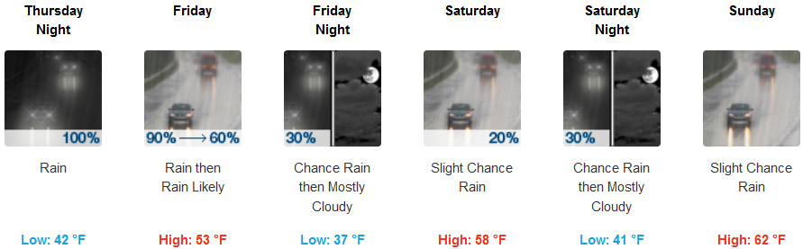
Inland areas are expected to see rain develop Thursday afternoon and continue through Friday before unsettled air moves into the region bringing mostly cloudy skies and possibly localized showers to close the weekend. Temperatures are expected to be in low to mid 40’s for morning lows, with highs only reaching the mid to upper 60’s.
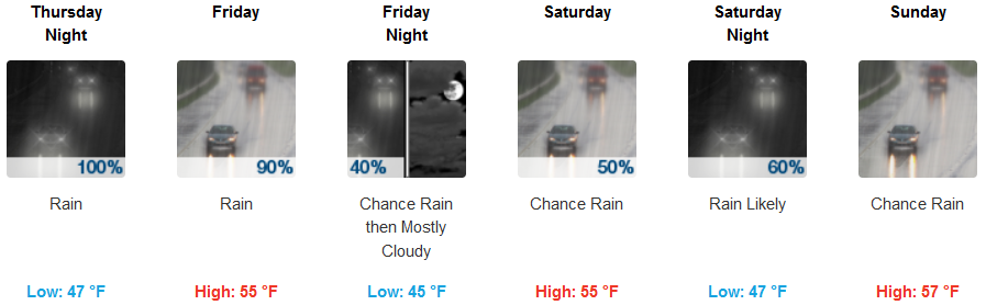
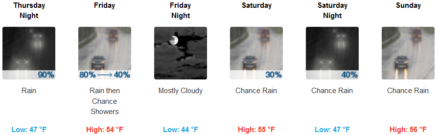
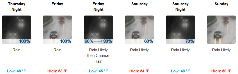
Areas along the coast are forecast to see rain beginning early Thursday morning, and continuing through the weekend, dissipating as the weekend progresses. Afternoon highs will be in the mid to upper 50’s with lows hovering in the mid 40’s.
Brooknigs:
Crescent City:
Gold Beach:
Cave Junction:
Grants Pass:
Medford: