

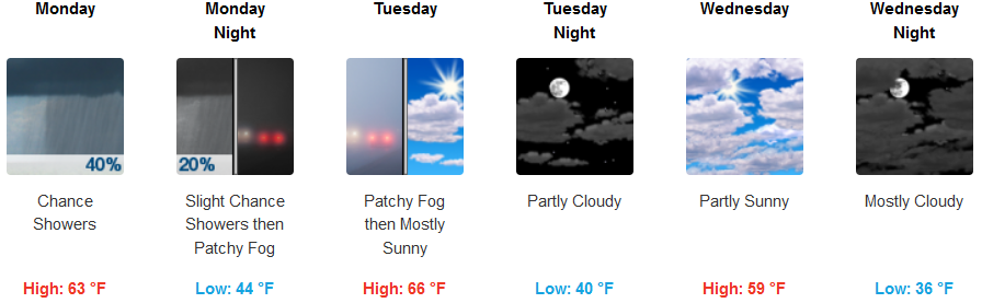
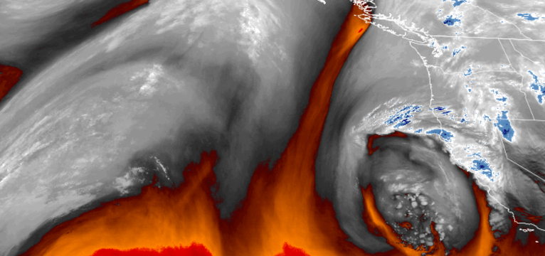
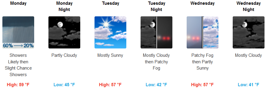
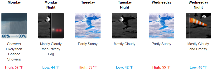
An area of low pressure circulating up the coast from the south is forecast to bring breezy conditions and showers into northern California and southern Oregon through Monday as the system circulates unstable air into the region as it moves onshore.
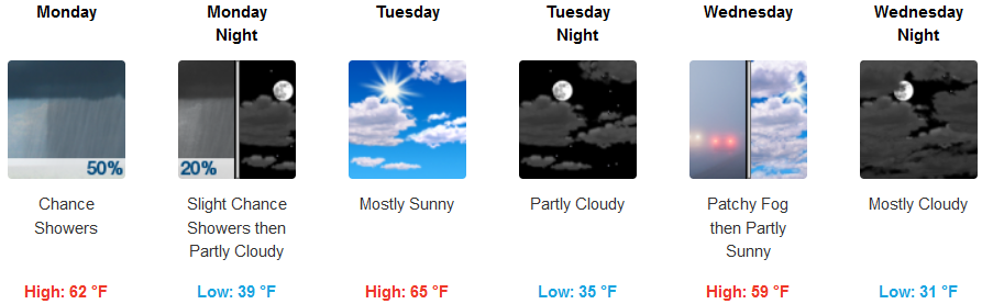
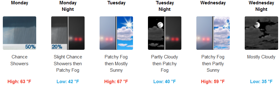
Inland areas are forecast to see showers continue through Monday afternoon and into Monday evening, clearing to partly cloudy to mostly cloudy skies as the work week progresses. Temperatures are expected to remain moderate with lows in the low to mid 40’s and highs in the low 60’s before a cooler air mass moves into the region later in the week.
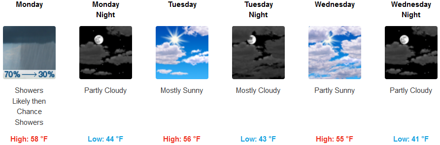
Coastal areas can expect to continue to see showers likely, mainly before noon before under mostly cloudy skies before gradually becoming mostly sunny Monday afternoon. The mild temperatures will continue with highs in the upper 50’s and lows in the mid 40’s with localized areas of fog possible as the week continues.
Brookings:
Crescent City:
Gold Beach:
Cave Junction:
Grants Pass:
Medford: