

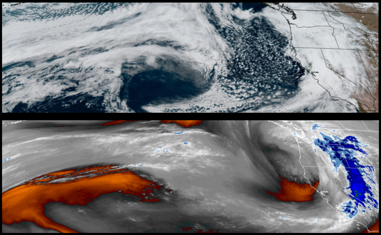
Unstable air behind the low pressure system that produced the precipitation over the past few days is forecast to bring partly cloudy skies and possibly more rain to start the work week as the low pressure moves east and another system spinning to the south pushes rain and windy conditions to the north.
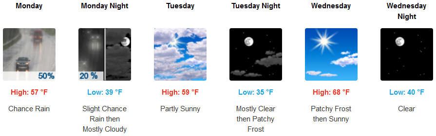
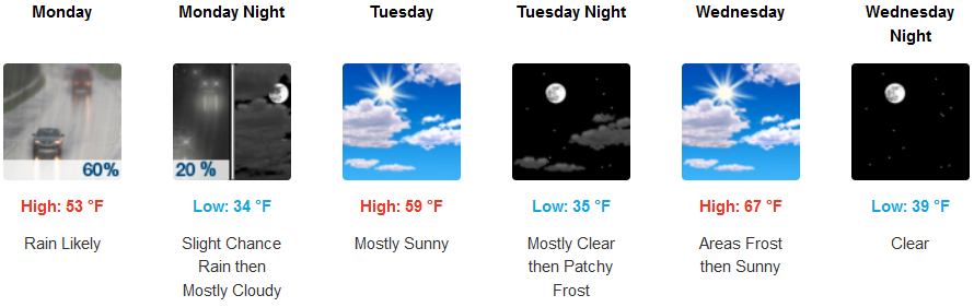
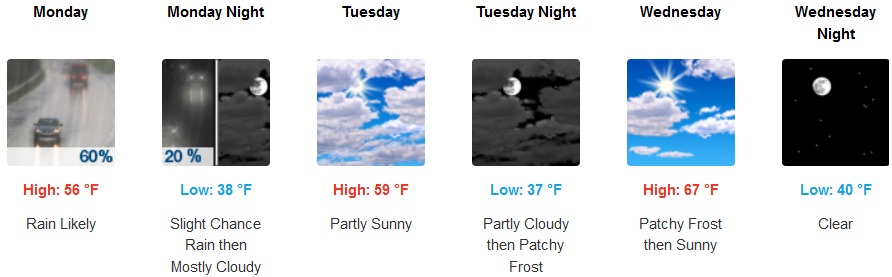
Inland areas can expect rain Monday and into Monday evening before more stable air begins to move in, with clearer skies and warmer temperatures by mid-week. Morning lows will continue to be cold with chances of frost with early morning lows in the mid 30’s as afternoon highs getting into the low 70’s.
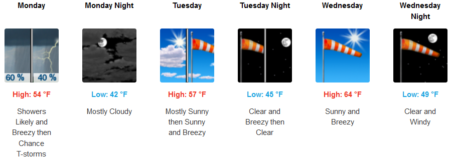
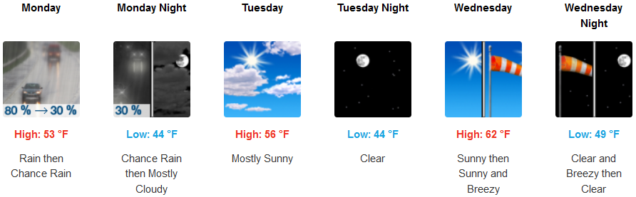
Rain is likely for much of coast through Tuesday as unstable air begins to move onshore with more windy conditions near and south of the Oregon/California border as the top edge of a low pressure system to the south pushes windy and wet conditions into the area with possible thunder storms and gust as high as 23 mph. Clearer skies and much warmer temperatures with afternoon highs reaching 70 by mid-week.
Brookings:

Crescent City:
Gold Beach:
Cave Junction:
Grants Pass:
Medford: