


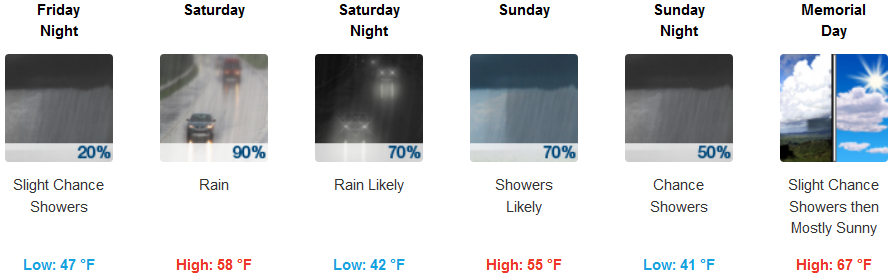
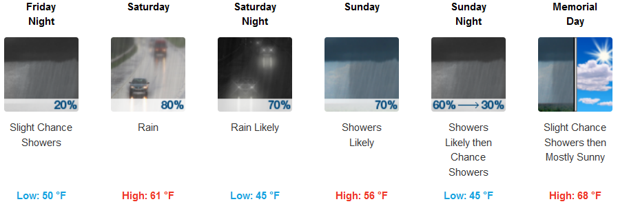
A cold low pressure system circulating in the Gulf of Alaska is responsible for another late season weather pattern change that is forecast to move into the region with strong winds, much cooler temperatures and beneficial rain Saturday into Sunday. Snow levels will drop to 5000 ft, however, accumulations are only expected across the highest peaks.
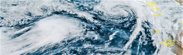
As a low and cold front moves through the region, winds could get gusty along coastal and inland areas with gusts in excess of 40mph. Temperatures are expected to drop sharply, and rain chances will increase over the weekend, with highest rain chances on Saturday. Although temperatures will cool significantly, lows will be in the mid 40’s with high temperatures in the mid to upper 50’s along the coast and reaching the low 60’s inland.
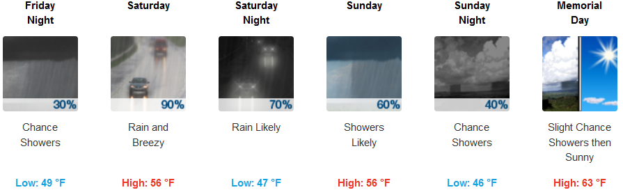
Brookings:
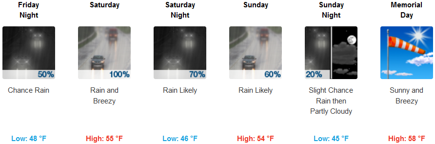
Crescent City:
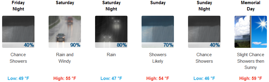
Gold Beach:
Cave Junction:
Grants Pass:
Medford:
