

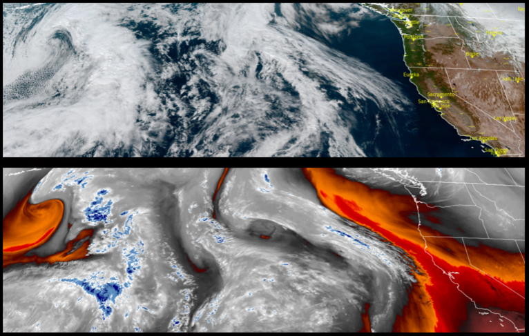
The cold air mass over the region is forecast to continue well into the start of the work week, before an approaching storm system ushers in more rain later in the week.
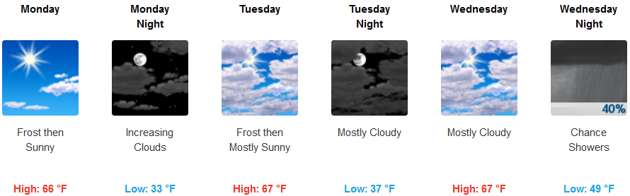
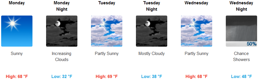
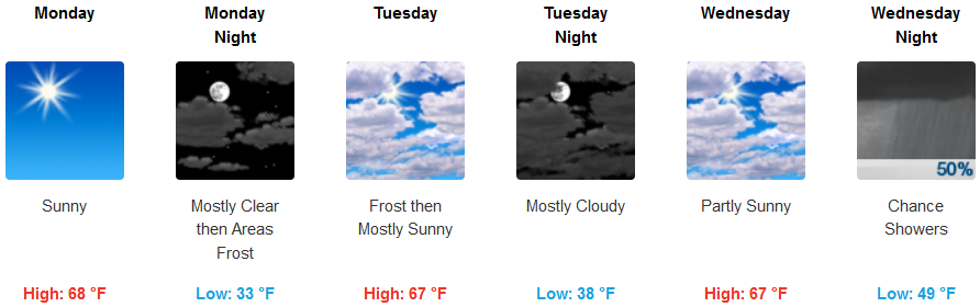
Inland valleys will continue to experience cold morning temperatures affecting inland valleys Monday and Tuesday, followed by temperatures gradually warmiing later in the week. Clouds will begin to accumulate late Tuesday ushering in chances of rain starting late Wednesday with early morning lows starting in the low 30’s warming to the low 50’s later in the week.
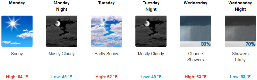
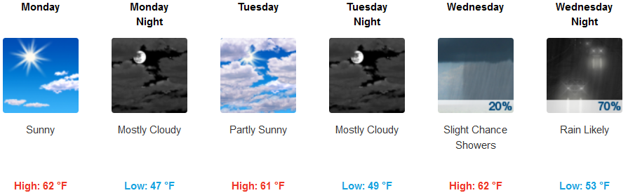
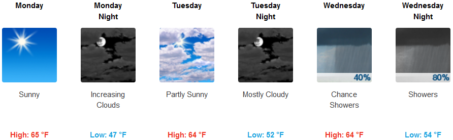
Along the coast, the mostly clear skies that start Monday, will turn to mostly cloudy skies Monday night as a new weather system moves onshore, increasing cloudy skies Tuesday before rain moves in Wednesday. Temperatures along the coast will stay in the low to mid 40’s for early morning lows, before warming slight to the low 50’s by mid-week with afternoon highs in the low to mid 60’s.
Brookings:
Crescent City:
Gold Beach:
Cave Junction:
Grants Pass:
Medford: