


Cold air remains across much of the region although temperatures are forecast to be slightly warmer than past nights with weaker winds, well below freezing temperatures are expected all the way to the coast, except south of Cape Blanco where offshore flow will maintain relatively warmer temperatures.
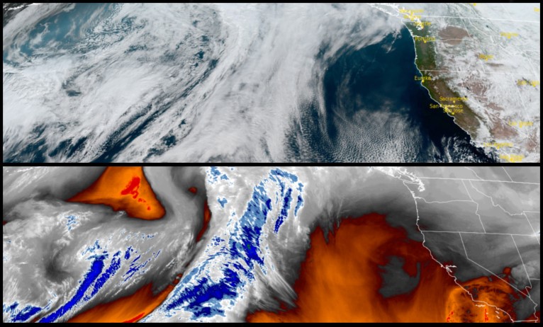
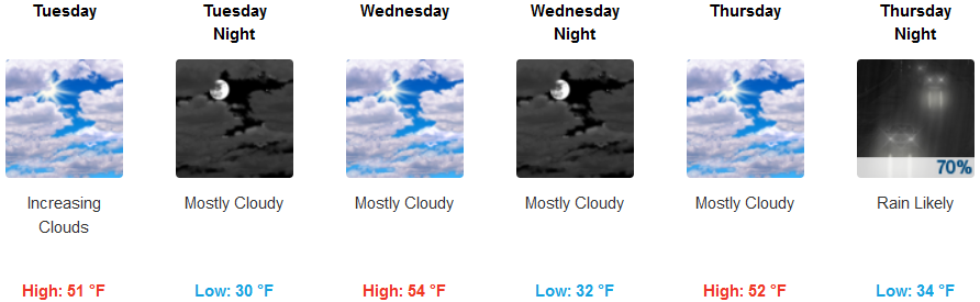
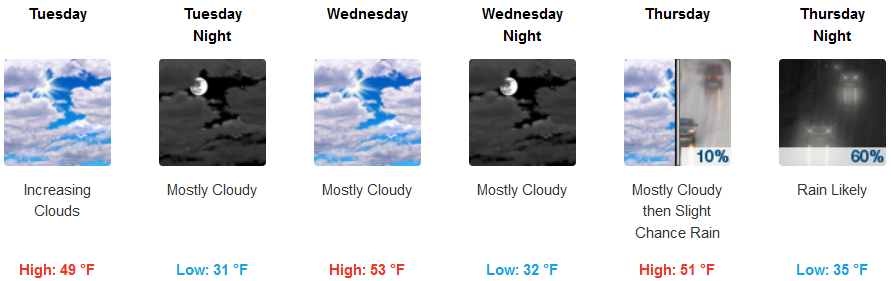
Inland areas will be mostly sunny to partly cloudy for much of the work week, however a system with precipitation is expected to drop down into the region late in the week. Temperatures are forecast to remain cold with lows dropping into the mid to upper 30’s and highs only reaching the low 50’s.
Coastal areas south of Cape Blanco will continue to enjoy the offshore flow that has spared much of the southern Oregon coast from freezing temperatures. Skies will be partly to sunny to mostly cloudy with a significant probability that showers will begin Thursday. Temperatures will be in the low 40’s for lows with afternoon highs in the low 50’s.
Brookings:
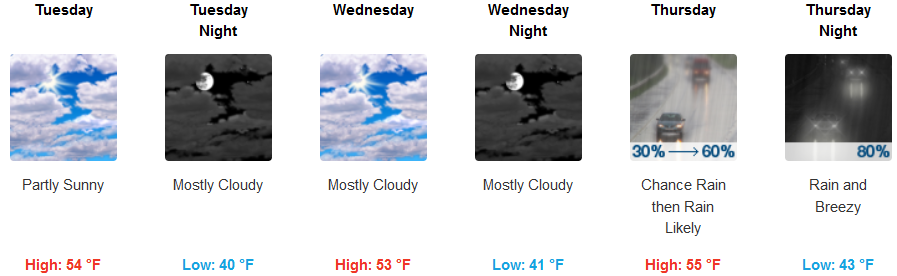
Crescent City:
Gold Beach:
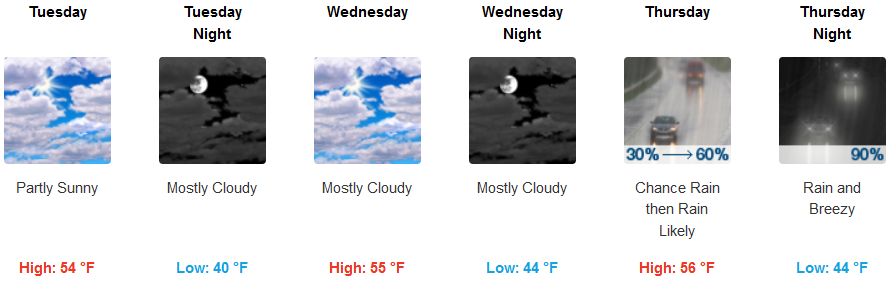
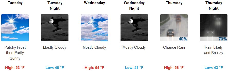
Cave Junction:
Grants Pass:
Medford:
