

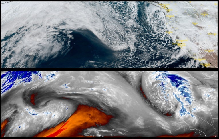
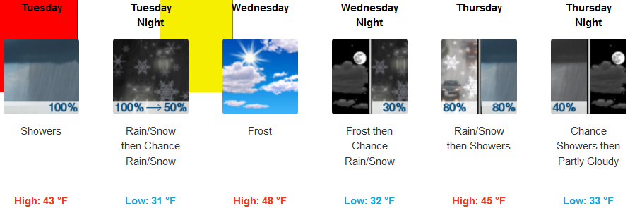
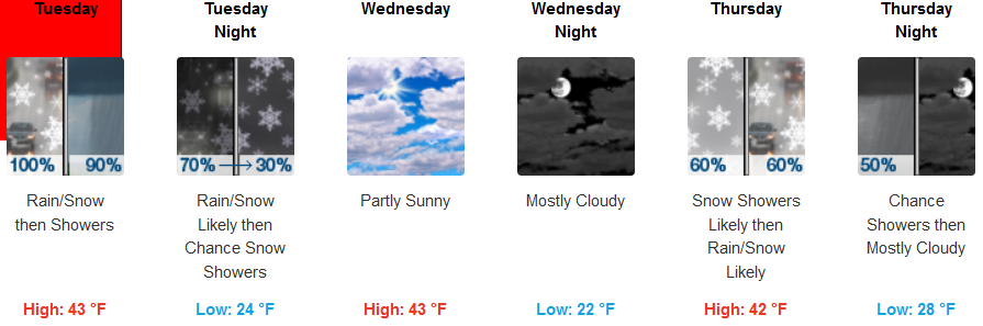
The heaviest impacts affecting the region from the current system are expected to dissipate Tuesday, after snow accumulations continue from higher elevation passes, to the valley floor, before the system moves to the east, giving the area a break from precipitation late Tuesday night into Wednesday.
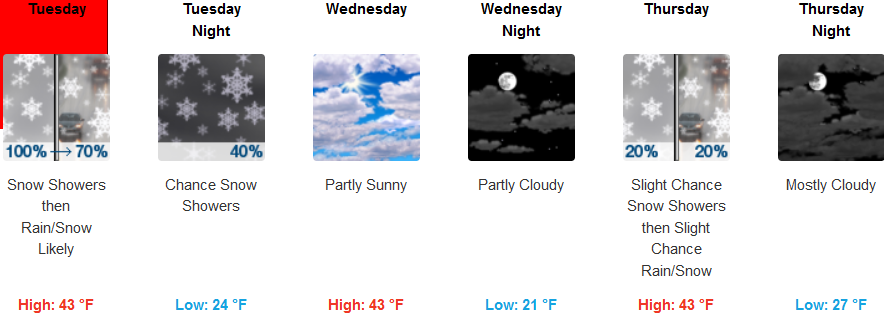
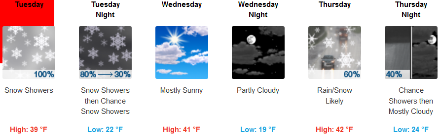
Inland areas are forecast to continue to see snow and precipitation through Tuesday morning as cold temperatures remain across the region with a quick break from precipitation into Thursday before a week system brings a slight chance of snow and rain to the area. Temperatures will remain cold throughout the work week with highs in the mid to upper 40’s, and lows dropping into the mid to upper 20’s.
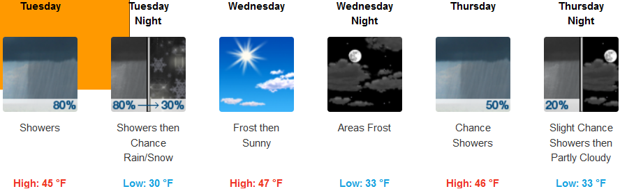
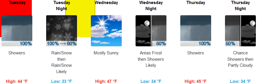
Winter Storm Warnings continue along the southern Oregon and northern California coast lines with rain and snow leaving the area early Tuesday. Again cold temperatures will drop even further as the weather system moves to the east, bringing partly cloudy skies and the possibility of more rain and snow ushering a drop in early morning lows later in the work week. Afternoon highs along the coast will be in the mid to upper 40’s, with lows getting down into the low 30’s as the work week progresses.
Brookings:
Crescent City:
Gold Beach:
Cave Junction:
Grants Pass:
Medford: