

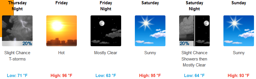
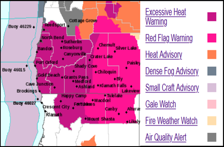
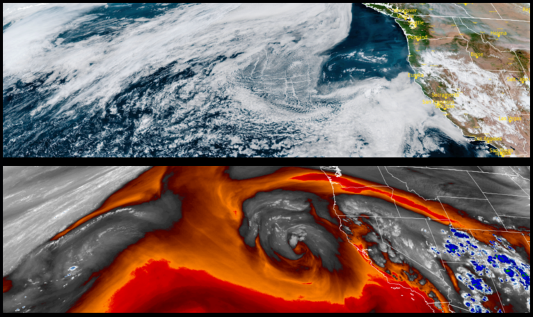
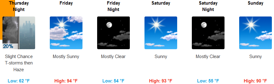
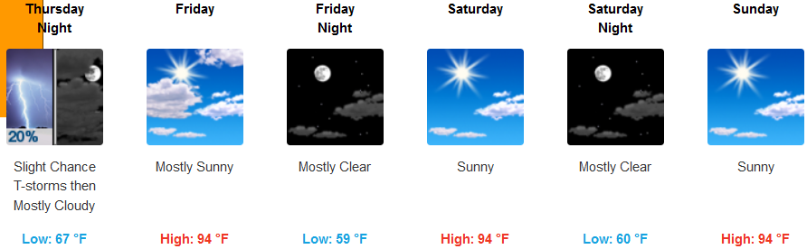
High pressure spinning off the coast and unexpected high moisture in place over the Four Corners region continue to circulate thunderstorms into the region since early in the week. Excessive Heat and Red Flag Warnings continue across much of southern Oregon and northwestern California, however the extreme heat experienced this past week is forecast to subside slightly as the week continues.
Interior areas off the coast are forecast to continue to experience isolated, scattered thunderstorms are expected this afternoon and evening with the highest likelihood of lightning from the southern Oregon Cascades east, however, thunderstorms west of the Cascades in Jackson, eastern Douglas, and far southeast Josephine Counties are possible. Little rainfall is expected from these storms, with temperatures remaining in the mid to upper 90’s for afternoon highs, with warm evenings in the mid to upper 60’s.
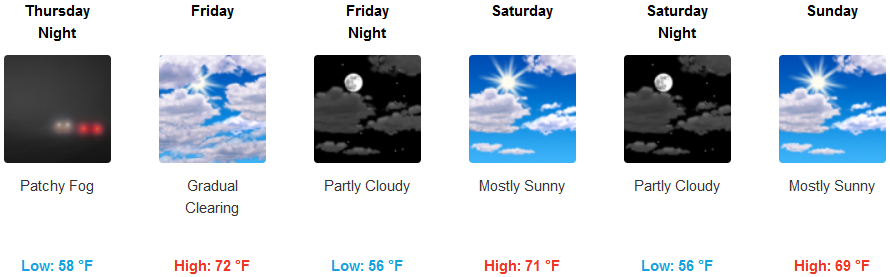
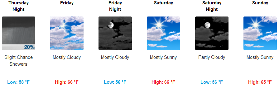
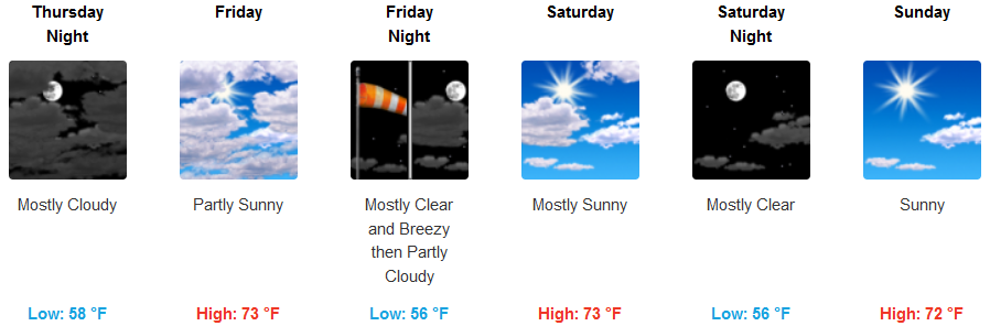
Although Excessive Heat Warnings continue to extend to the coast, coastal areas are forecast to stay relatively cool comparatively speaking, under mostly clear to partly cloudy skies. Early morning lows along the coast will range in the upper 50’s to low 60’s with afternoon highs getting into the upper 70’s cooling slightly as the week progresses.
Brookings:
Crescent City:
Gold Beach:
Cave Junction:
Grants Pass:
Medford: