


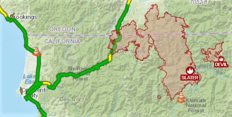
Moist fall weather and cooler temperatures have made a big difference in the slowing of the Happy Camp/Slater Fire. 14 days ago the Happy Camp/Slater Fire sat at 154,145 total acres and 45% containment and the Devil Fire had burned 8,410 total acres with 20% containment. Two weeks later the Happy Camp/Slater Fire now sits at 156,417 acres and 78% containment and the Devil Fire total acreage is now 8,849 acres and 58% containment.
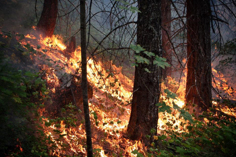
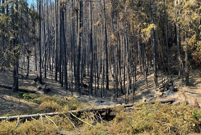
Patrols on the northern perimeter of the fire, from the Collier tunnel in the west to the Left Fork of Sucker Creek in the east, reported finding fewer hot spots as smoldering and creeping fire continues especially under the canopy as heavy fuels are consumed.
Aerial monitoring over the holiday weekend revealed a smoldering log that rolled beyond containment lines along Thompson Creek on the southeastern flank. A hand crew hiked into the remote area and successfully extinguished the residual heat found within it. Work continues to secure the fire’s edge within steep and rugged terrain in the Knopki and Chicago Creek drainages near Sanger Peak. The Devil fire is in patrol status using aviation and ground resources.
Two Forest Service Burned Area Emergency Response teams have been established, one team for the California side of the fires and one team for the Oregon side, have been assigned to coordinate with multiple federal, state and local agencies to assess potential post-fire impacts to the burned watersheds.
Burned Area Emergency Response team surveys are rapid assessments that evaluate the burned area to identify watersheds having increased potential for post-fire flooding, sediment flows, falling trees, and rockslides. These surveys re used to assist land managers in preparing the burned area for rainstorms and wind events.
The teams focus on potential emergency impacts to life and safety on National Forest System lands, and share the team’s findings with the responsible agencies, adjacent landowners and managers.
Burned Area Emergency Response teams typically consist of scientists and specialists including hydrologists, geologists, soil scientists, road engineers, botanists, fisheries biologists, wildlife biologists, recreation specialists, archeologists and geographic information specialists that collect data during their burned area surveys. The Burned Area Emergency Response team then utilizes this collected information to analyze through geographic information systems and computer their findings to then present recommended Burned Area Emergency Response emergency response actions.
Burned Area Emergency Response teams utilize satellite imagery and specialist data to analyze and produce a report that describes threats associated with the burned area’s post-fire conditions along with recommended emergency stabilization measures and actions.
This is the first step in assessing potential watershed impacts from wildfires that may be at-risk from potential increased flooding, sedimentation, debris flows and rockslides.
Fire Suppression Repair is a series of immediate post-fire actions taken to repair damages and minimize potential soil erosion and impacts resulting from fire suppression activities and usually begins before the fire is contained, and before the demobilization of an Incident Management Team. This work repairs the hand and dozer fire lines, roads, trails, staging areas, safety zones, and drop points used during fire suppression efforts.