


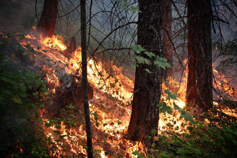
The Happy Camp/Slater Fire slowed significantly over the past weekend, in part due to wet weather systems passing over the area, but it was hard-working fire crews that took advantage of the wet window to held fire lines. Since Friday evenings official report, the Happy Camp/Slater Fire added only 1,887 acres and now has charred 148,585 total acres as of Sunday nights 9:00 pm update.
The Devil Fire actually burned more acres than the last daily update, adding 314 more acres, 77 more acres than the 237 reported in the last update. Both the Happy Camp. Slater Fire and the Devil Fire now sit an 18% containment.
Although the area remains an active fire zone with fire crews on site, U.S. Highway 199 was reopened to two-way through traffic in both California and Oregon. Drivers are reminded to use caution and slow for fire crews maintenance crews and law-enforcement and to be prepared for possible delays as fire conditions are everchanging.
1,355 personnel are currently assigned to the Slater and Devils fires including 21 hand crews, 105 engines, 15 helicopters, 2 fixed-wing aircraft, 25 dozers, and 21 water tenders.
In the Gasquet portion of the Slater Fire, firefighters held the fire at the Knopki Rd. They will work to complete operations to secure the fire edge at the intersection of Hwy 199 and Knopki Rd. Structure protection activity continues from Knopki Rd to the town of Gasquet.
Fire crews continued to perform additional scouting to identify opportunities to secure the edge of the fire in the Takilma area. The Oregon State Fire Marshal’s Task Forces continue to work in partnership with wildland crews focusing all of their efforts on establishing control lines. In an effort to protect property at risk, resources will be conducting direct fire suppression activities on the north to the northwest perimeter of the fire to minimize the footprint of the fire’s edge in the northern perimeter of the fire.
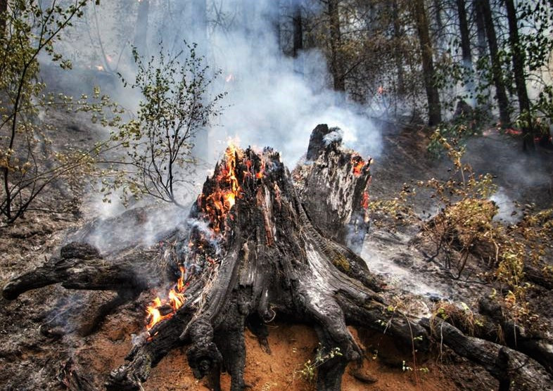
Firefighting efforts in the South Zone of the Slater Fire will be focused on clearing hazard trees up the Grayback Road, as well as attempting backfiring to contain the fire along the Thompson Creek Road and north along the Slater Fire’s edge.
Firefighters continue to monitor the Devil Fire as it is still generating some heat along its west side and southwest corner, however, the Tahoe Hotshots were able to find the cold edge of that fire and build a direct line to cut off its southward progress away from homes in and around Seiad Valley. The structures near both Goff Creek and Thompson Creek are well protected, and fire behavior in the drainages continues to be fairly minimal.
After coordination with the Rocky Mountain Team 2 Incident Management Team, the Josephine County Sheriff’s Office is reducing a current Level 1 “Be Ready” status of the Selma area to zero. The residences adjacent to Cave Junction City Limits will remain on a Level 1 “Be Ready” at this time. Cave Junction city limits remain on Level 2 at this time.
This current downgrade is for all residences located on the following road systems including secondary roads; Illinois River Road, Reeves Creek Road, Lakeshore Drive, McMullen Creek Road, Thompson Creek Road, Deer Creek Road, Upper Deer Creek Road, White Creek Road, Clear Creek Road, Hidden Creek Road, Circle W Road, Draper Valley Road, Reeves Creek Road and Hwy 199 from mileposts 16 to 25.