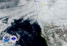
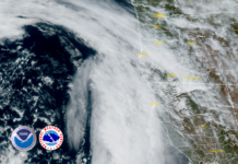
According to the last release from the National Weather Service, the next series of weather systems will bring some rain and snow to the west coast.The next storm system will impact the region Wednesday through early Saturday, and will be relatively robust. Heavy rain, gusty winds, coastal hail, and heavy mountain snow at pass levels will become increasingly likely as a result.
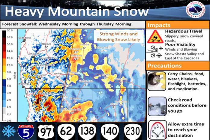
The first system will arrive on Wednesday will bring 4000-foot snow levels with it, and those snow levels will begin to decrease on Thursday before falling to the valley floors by early Friday morning. The heaviest snowfall will be in the Cascades and the Marble mountains with a heavy dose of snow forecast for Mt. Shasta.
This will create hazardous travel with slippery, snow-covered roads. Additionally, periods of poor visibility due to heavy snow or blowing snow will be possible, particularly across the Shasta Valley and along and east of the Cascades. The winds will also create additional travel difficulties as the winds and snow could cause vehicles to slide more easily.
You will want to plan now to avoid traveling during the storm. If you must travel, carry an emergency kit with chains, flashlight, batteries, blankets, food, water, and medications. Be prepared for wintry travel conditions and be sure to check road conditions before venturing out.
Please Like, Share and Follow the …


