

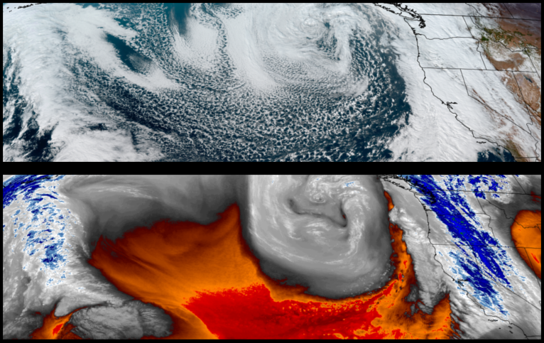
A strong low pressure system circulating off the coast of northern Oregon and Washington continues to circulate precipitation into the region as it picks moisture from warm air extending into the Pacific. Wet weather will continue into Friday with a slight break as colder air behind the current system pushes onshore over the weekend.
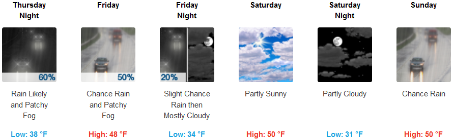
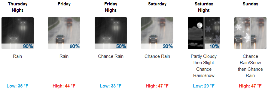
Inland areas are forecast to see precipitation continue into late Friday with a break in rain Saturday and into Sunday as cold air brings the possibility of snow at the highest elevations Sunday. Lows are expected to be in the upper 30’s to end the week, dropping to the upper 20’s with highs in the mid to upper 40’s.
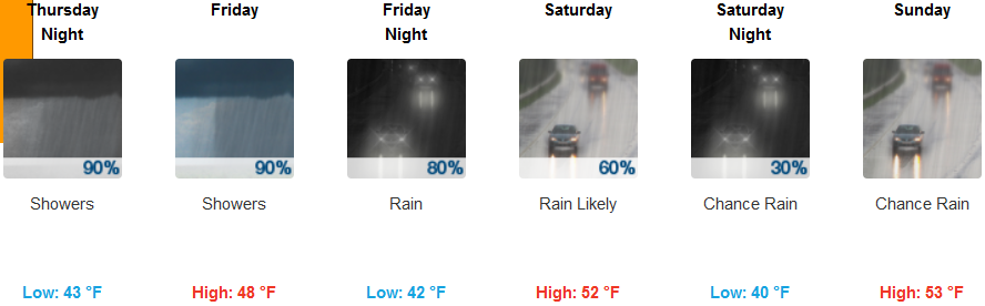
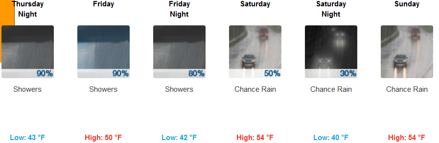
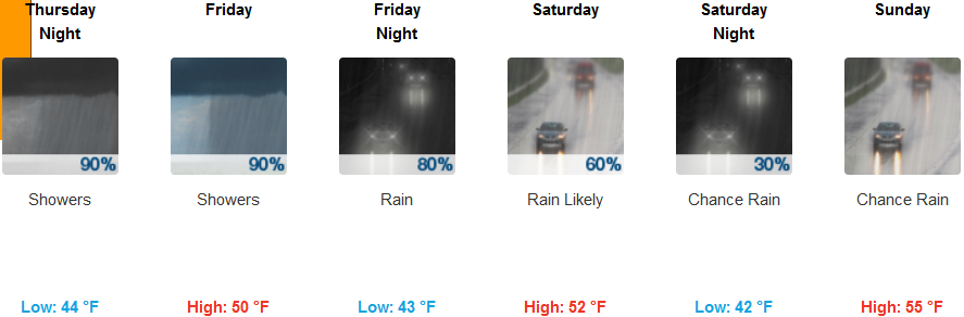
Coastal areas will see rain to end the work week with very good chances of precipitation continuing through Sunday with chances of thunderstorms as colder air moves onshore. Temperatures will cool considerably starting Friday, with highs only reaching the low 50’s and low temperatures in the low 40’s.
Brookings:
Crescent City:
Gold Beach:
Cave Junction:
Grants Pass:
Medford: