

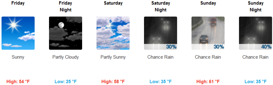
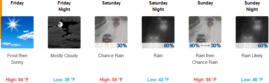
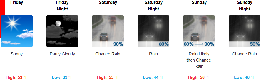
Another episode of precipitation is forecast to reach the area late Saturday and although cold temperatures have prevailed across the region, snow levels are expected to rise from 1500′ to 3900′ elevation by late Saturday.
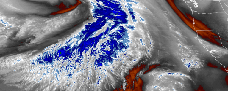
Snow and lower elevation rain are forecast for inland areas, increasing through Saturday night as the precipitation spreads further inland with strengthening winds. Temperatures are expected to remain very cold going into Saturday, raising from the upper teens for lows in some locations Friday, to the mid 30’s for lows later in the weekend, with high temperatures getting to the low 60’s.
Friday is forecast to start clear and cold along the coast, changing to mostly cloudy by Friday night as a low pressure system moves onto the coast bringing localized showers Saturday, changing to widespread rain by late Saturday evening with precipitation amounts between a quarter and half of an inch possible by late Sunday.
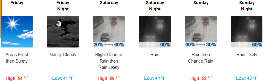
Brookings:
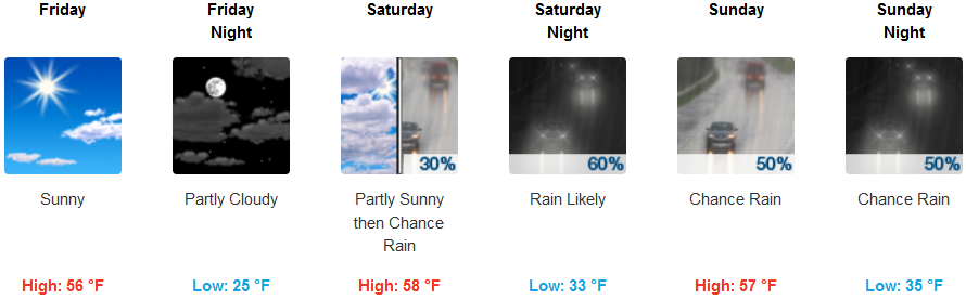
Crescent City:
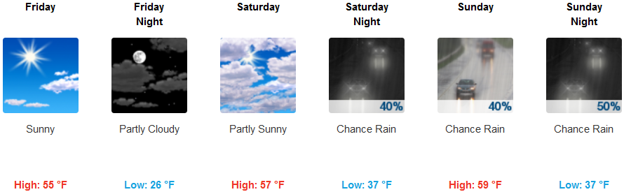
Gold Beach:
Cave Junction:
Grants Pass:
Medford: