

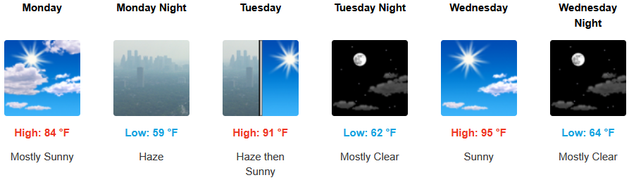
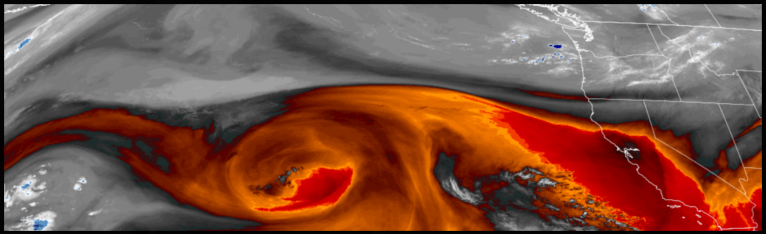
The high pressure that has been responsible for the high temperatures and clear skies has started to weaken and move off to the east as unsettled weather and some precipitation has worked its way south bringing increased cloudiness across the region and cooler temperatures.
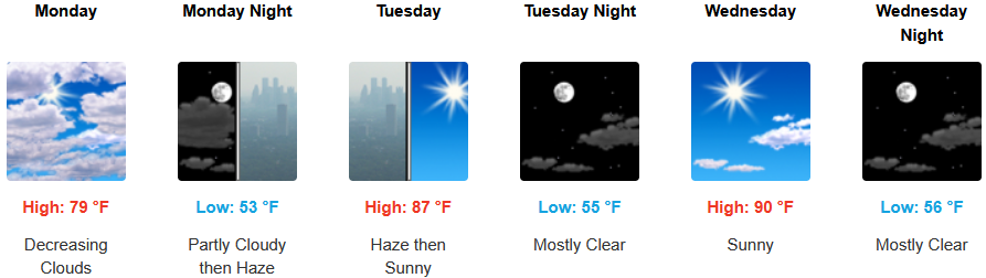
Inland areas can expect a quick shift in temperatures as increased cloudiness brings showers to northern Oregon and cooler temperatures into midweek. Afternoon highs are expected to cool to the low 80’s to start the workweek warming to the low 90’s by midweek with lows forecast to be in the mid to upper 50’s.
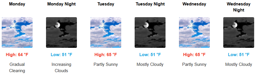
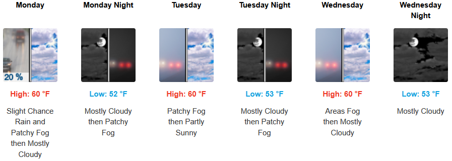
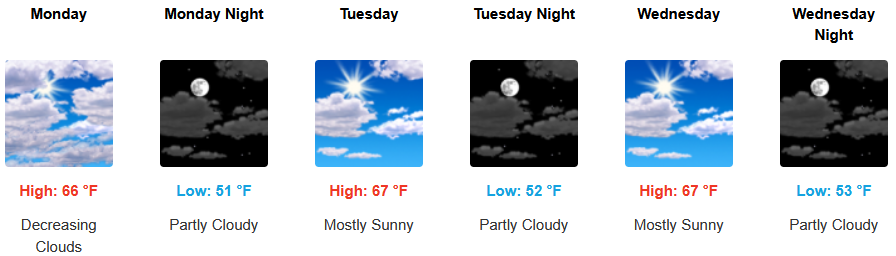
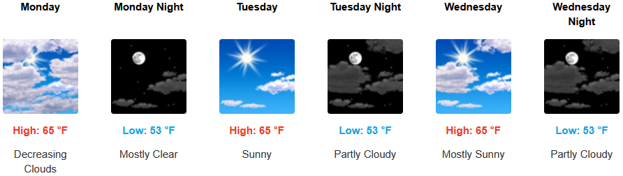
After a very slim chance of evening showers, Coastal areas will continue to possibly see a morning marine layer along the immediate coast and localized areas of morning fog are possible as increased cloudiness cools temperatures into midweek. Temperatures are expected cool into the workweek with high temperatures reaching the mid 60’s in some areas with morning lows in low 50’s.
Brookings:
Crescent City:
Gold Beach:
Port Orford:
Cave Junction:
Grants Pass:

Medford: