

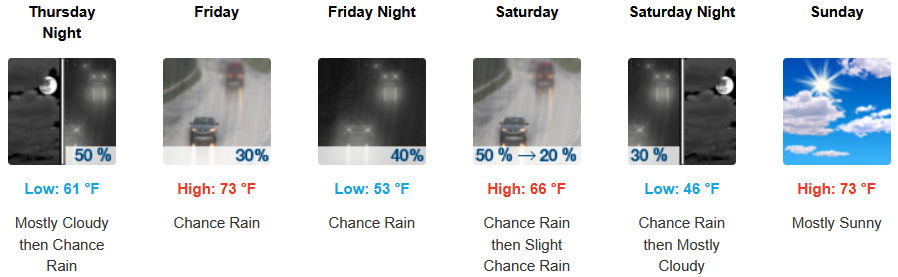
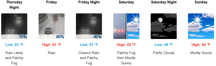
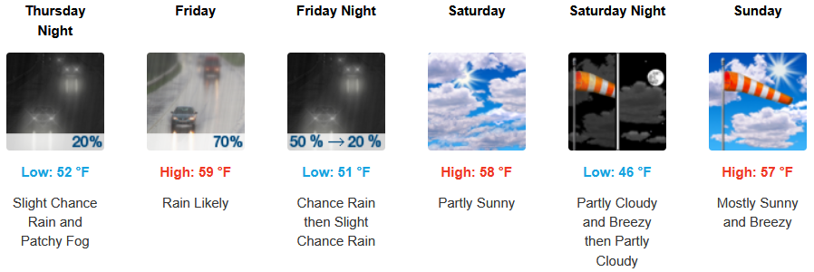
This heat experienced by much of the area this past week will begin to subside as a frontal system begins breaking down the high pressure and pushes inland bringing temperatures trending 10-20 degrees below normal with chances of rain late in the workweek and into the weekend.
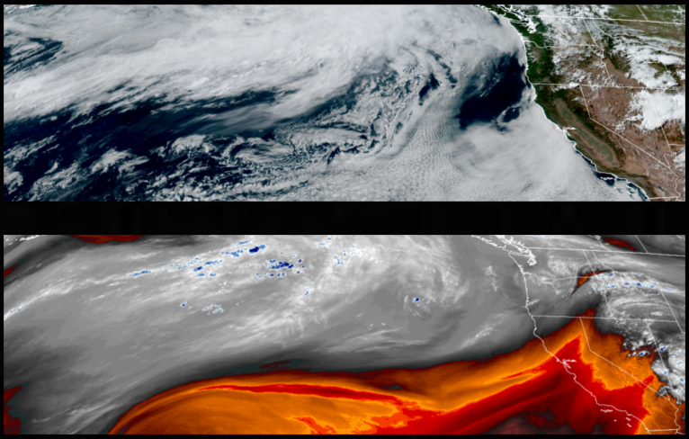
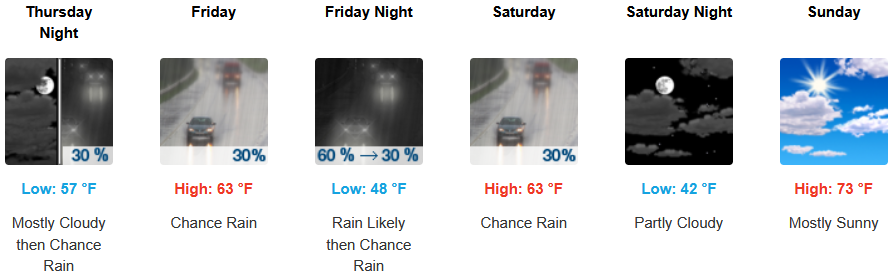
Mostly clear and sunny skies are forecast midweek before high pressure breaks down bringing the chances of precipitation to end the workweek and into the weekend. Afternoon highs are expected to be 10-20 degrees below normal with temperatures in the low 70’s for highs, with lows in the mid to upper 40’s to low 50’s.
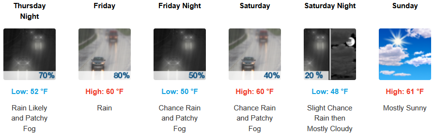
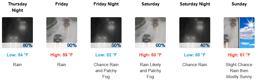
Along the coast, onshore flow usher in cooler temperatures and the strong possibility of showers as early as Friday before the weekend is over. Temperatures are expected to reach the low to mid 60’s for highs in some areas with morning lows in the upper 40’s to low 50’s.

Brookings:
Crescent City:
Gold Beach:
Port Orford:
Cave Junction:
Grants Pass:

Medford: