

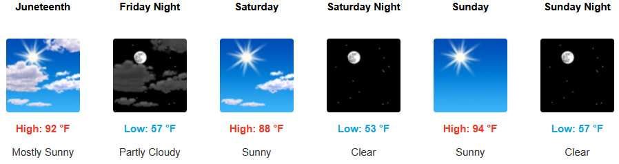
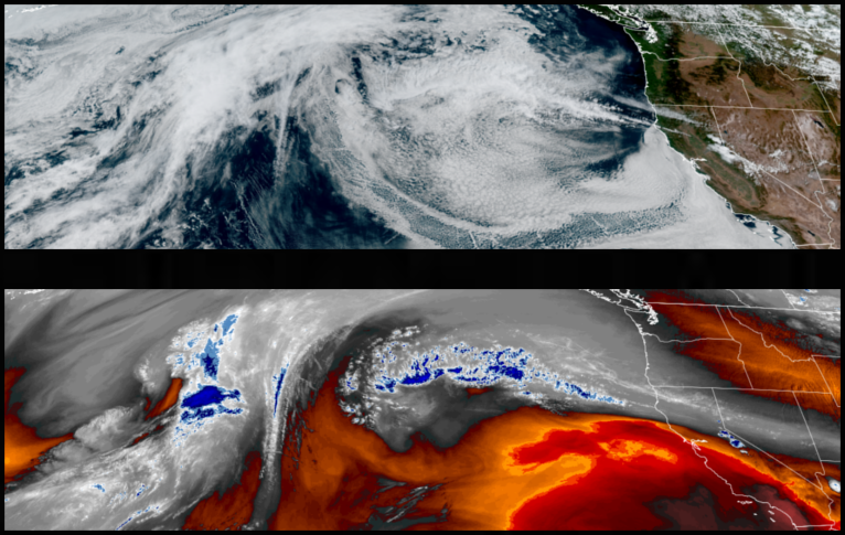
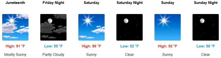
The ridge of high pressure responsible for the summer like hot temperatures that started the work week has begun to weaken bringing some relief as temperatures cool slightly going into the weekend, however, the unstable air that replaced brings a ‘Red Flag Warning’ due the possibility of scattered dry thunderstorms developing on Friday.
Inland areas can expect to continue to see clear skies and above average temperatures, cooling slightly with most areas staying below triple digits. Chances of dry lightning are expected to develop Friday.Afternoon highs are expected to continue to be warm going into the weekend with temperatures the upper 90’s for highs, with lows in the mid 60’s.
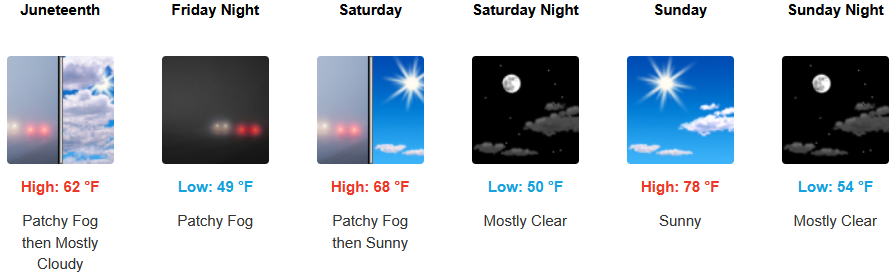
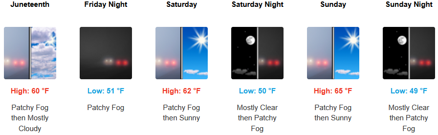
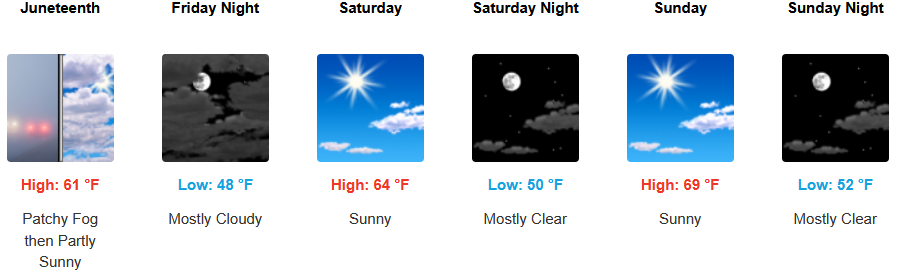
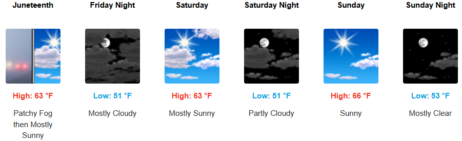
Along the coast, a weak onshore onshore flow will continue to make an early morning marine layer possible along the immediate northern California southern Oregon coastline under mostly clear afternoon skies. Slight chances of dry lightning could develop Friday. Temperatures are expected to cool to end the workweek with highs reaching the mid 70’s in some areas with morning lows in the 50’s.

Brookings:
Crescent City:
Gold Beach:
Port Orford:
Cave Junction:

Grants Pass:
Medford: