

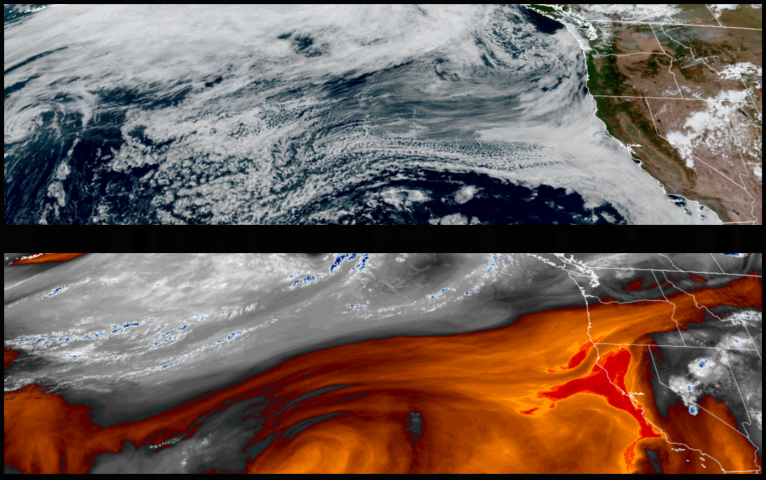
The slow moving high pressure responsible for the clear skies and hot temperatures is slowly moving to the east and weakening, allowing a ridge of low pressure to move in over the next couple days, cooling temperatures across the region to seasonal levels through this weekend.
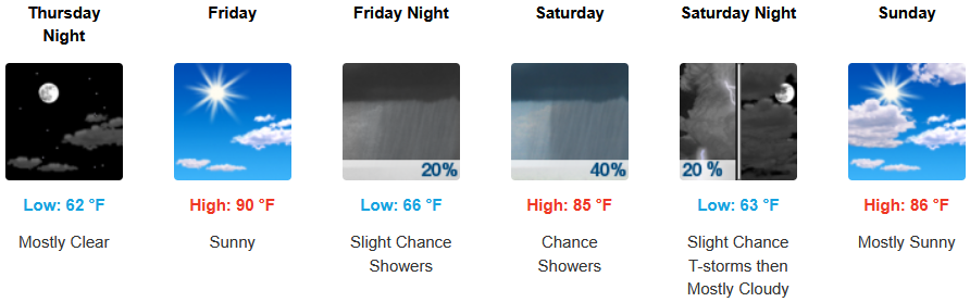
Across inland areas, the hot and dry weather will breakdown allowing for cooler air to move into the region with a possibility of precipitation into the weekend. After many days of triple digits inland, afternoon highs are expected to begin to cool from the low 100’s to the mid 80’s into the weekend, with lows forecast in the low to mid 60’s.
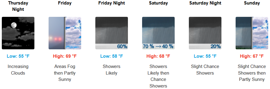
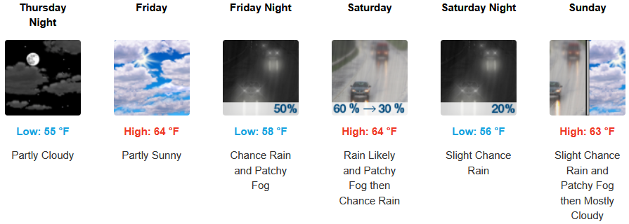
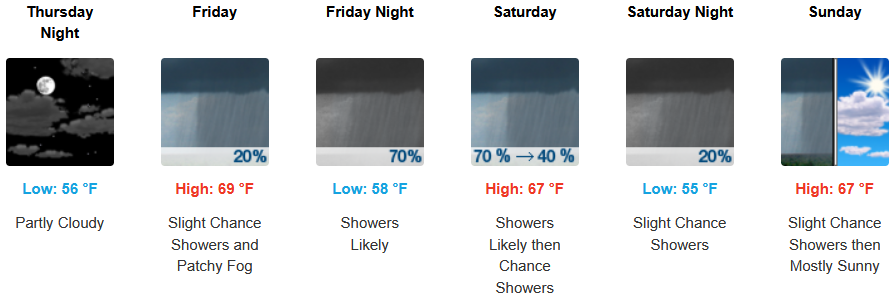
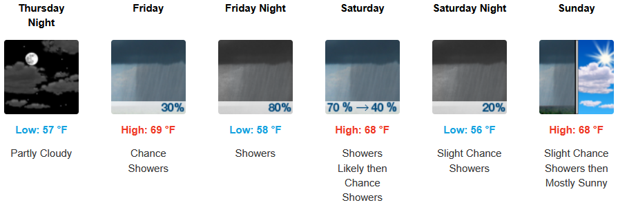
Coastal regions will see cooler air move into the region beginning Wednesday. A continued morning marine layer along the immediate coast and localized areas of morning fog will aid in the advancement of a trough of low pressure that could possibly bring showers into the weekend. High temperatures are expected to fall from the low 70’s to the low to mid 60’s for highs, with morning lows in the upper 50’s.
Brookings:
Crescent City:
Gold Beach:
Port Orford:
Cave Junction:
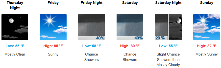
Grants Pass:
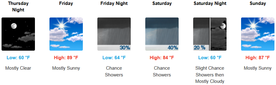
Medford: