

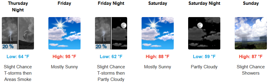
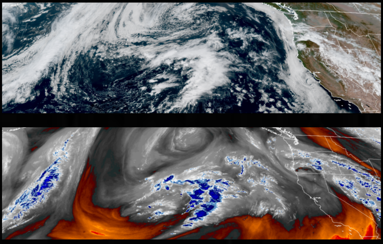
The high pressure off-shore will continue to bring warm temperatures to the interior of northern California and southern Oregon through Thursday before unsettled weather begins to move onshore as monsoonal moisture from a strong low pressure system in the southwest circulates the possibility of thundershowers across the region through the weekend.
Inland areas will continue to see mostly sunny skies and warm temperatures going into the weekend with unstable air circulating up from the south creating a strong chance of thunderstorms as early as Thursday evening. Afternoon highs are expected to remain warm with highs low 100’s cooling to the high 80’s in some areas, with lows forecast to be in the mid to low 60’s.
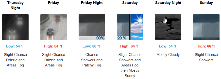
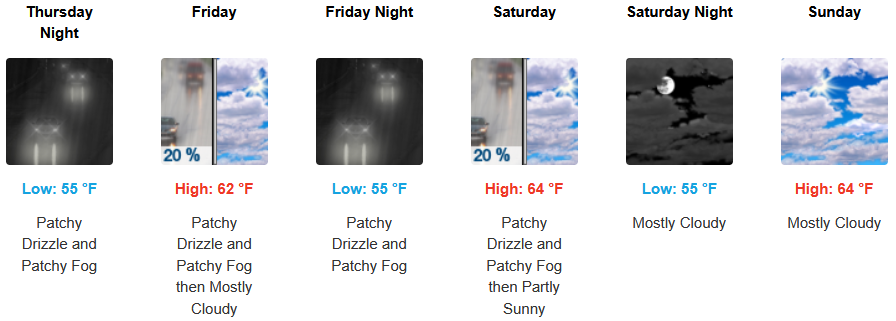
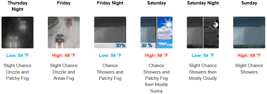
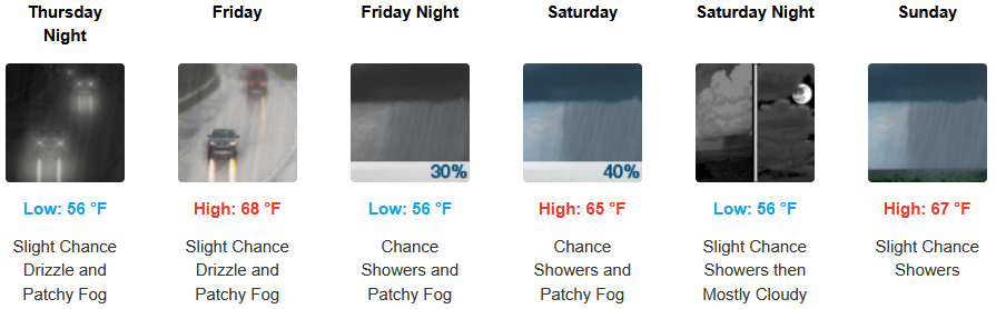
Changes are forecast along the coast beginning Thursday as increasing clouds bring drizzle and chances of showers increasing as the weekend progresses. Localized areas of morning fog are expected to continue along with the morning marine layer along the immediate coast. Temperatures are expected to stay in the mid 60’s for highs in some areas with morning lows in the low to mid 50’s.
Brookings:
Crescent City:
Gold Beach:
Port Orford:
Cave Junction:
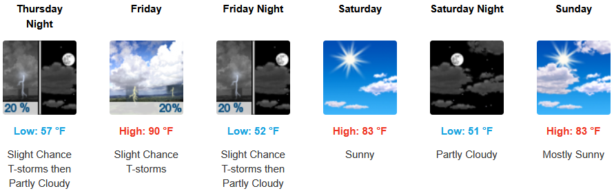
Grants Pass:
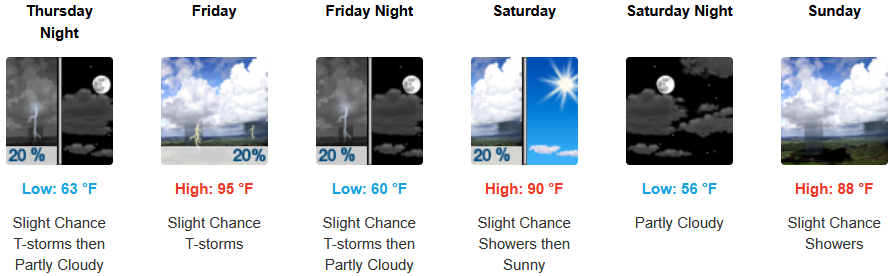
Medford: