

After a weak front passes through, a cooler air mass behind it, is forecast to bring temperature levels down in southern Oregon and northern California late Sunday night into early Monday morning under mostly sunny skies, that will return the region back to warm temperature averages as the week progresses.
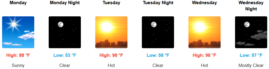
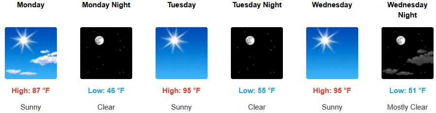
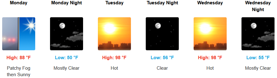
Mostly clear skies and warm temperatures are expected to continue inland as the work week progresses with early morning areas of fog in the usual places. Temperatures are expected to be warm, with afternoon highs expected to range from the upper 80’s to start the week, climbing to the upper 90’s by midweek, with lows forecast to be in the low 40’s to mid 50’s.
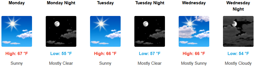
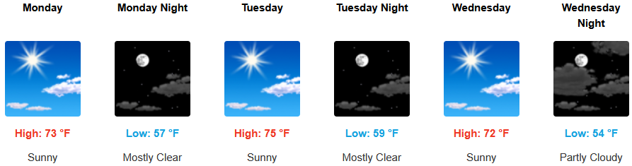
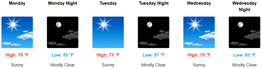
Along the coast, mostly clear skies are forecast to continue into the work week. Localized areas of fog and the usual marine layer along the immediate coast are expected to continue with temperatures forecast to be in the low to mid 70’s for highs in some areas with morning lows dipping to the upper 40’s to mid 50’s.
Brookings:

Crescent City:
Gold Beach:
Port Orford:
Cave Junction:
Grants Pass:
Medford: