

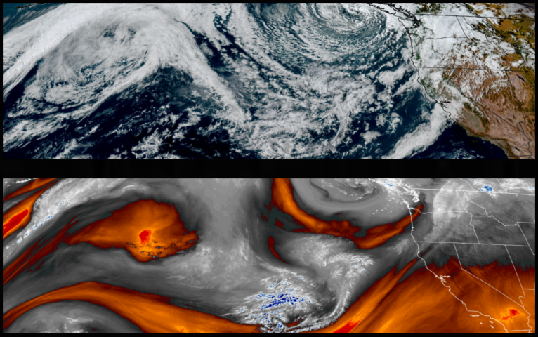
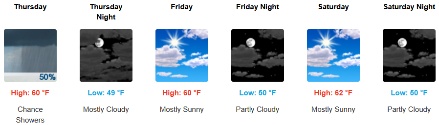
Unseasonably cool and unstable weather is forecast to continue into the weekend as frontal systems pass over the area bringing periodic waves of showers and thunderstorms through the end of the week.
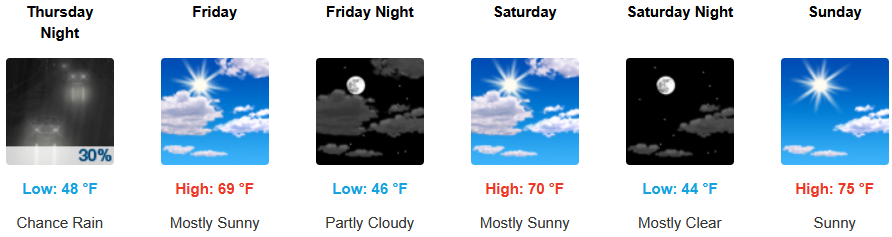
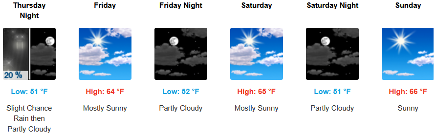
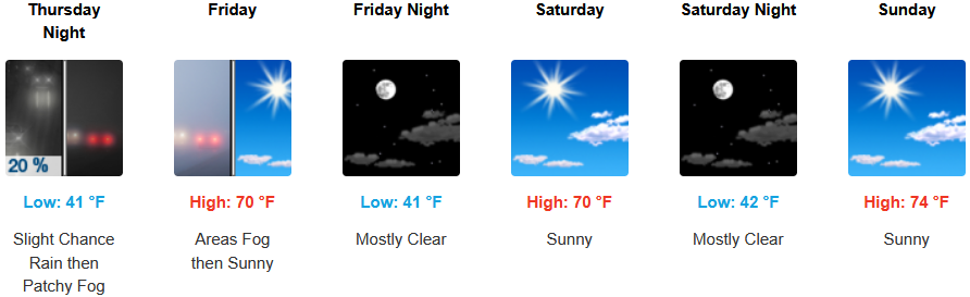
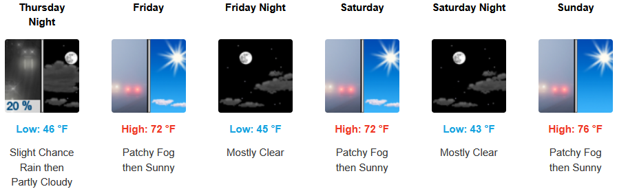
Inland areas can expect showers to continue into Friday evening before clearing into the weekend. Localized morning fog is expected to develop with afternoon highs are expected to be in upper 60’s to low 70’s, with lows forecast to be in the mid to upper 40’s.
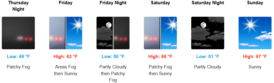
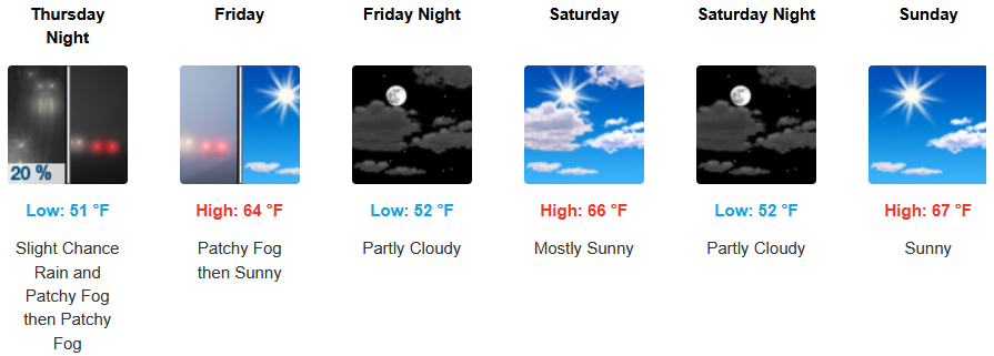
Along the coast, showers and possible thunderstorms are expected to continue into Friday clearing into the weekend with areas of early morning fog. Temperatures are forecast to be in the low to mid 60’s for highs with morning lows in the upper 40’s to low 50’s.
Brookings:
Crescent City:
Gold Beach:
Port Orford:
Cave Junction:
Grants Pass:
Medford: