

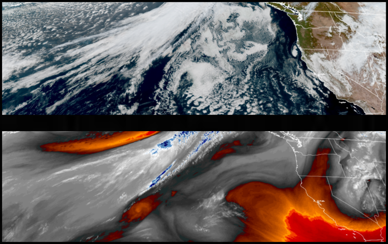
The frontal system moving south along the west coast has pushed unsettled colder air into the region to close out the work week. Partly cloudy skies with warm afternoon highs and cold early morning lows are expected to precede showers developing as early as Saturday.
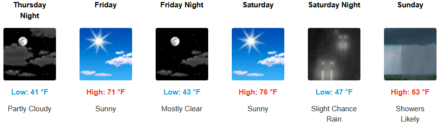
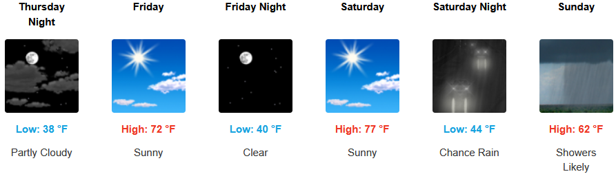
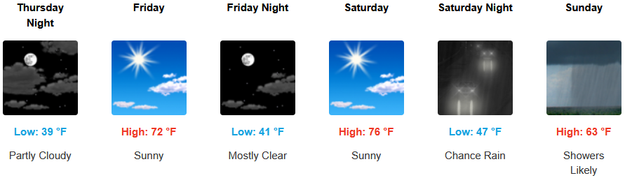
Inland areas are forecast to see continued mostly sunny skies as the work week continues before unsettled cold air brings likely rain and possible thunderstorms late Saturday thru Sunday. Afternoon highs are expected to stay warm into the weekend with highs reaching the low 70’s, with lows forecast to be in the upper 30’s to the low 40’s.
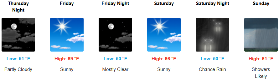
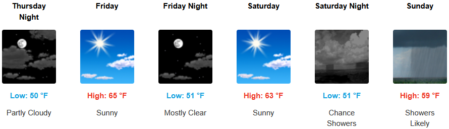
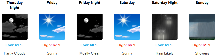
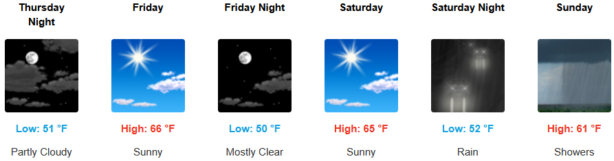
Partly cloudy skies are expected along the coast into the weekend before unsettled air begins to push on shore Saturday introducing rain and thunderstorms late Saturday evening and early Sunday mornings. Temperatures are forecast to be in the low to mid 60’s for highs in most areas, with morning lows in the upper 40’s.
Brookings:
Crescent City:
Gold Beach:
Port Orford:
Cave Junction:
Grants Pass:
Medford: