

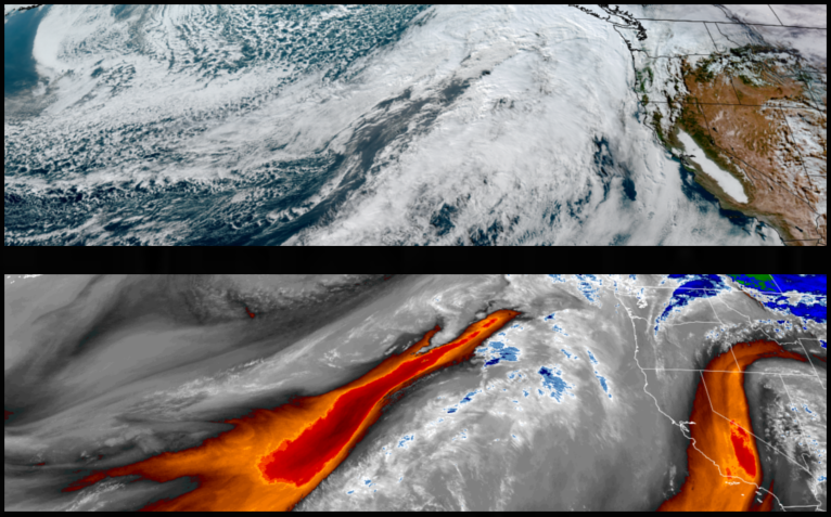
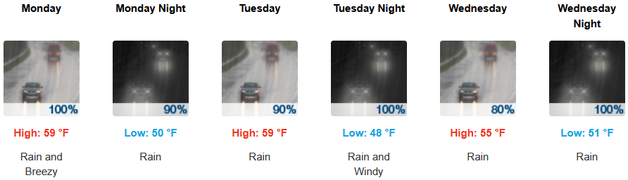
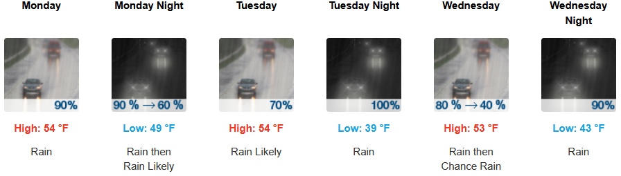
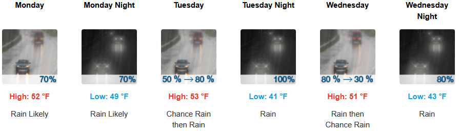
A series of fronts will bring an active weather pattern back to the northwest with the first weak front pushing onshore with increasing winds and light to moderate rain followed by another system into midweek. These fronts are expected through midweek before another ‘atmospheric river’ moves in later in the week.
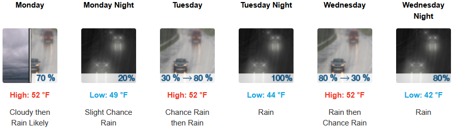
Rain is forecast to reach inland areas Monday morning continuing through the middle of the workweek. Snow levels are expected to remain high, above 4500 to 5000 ft. across passes with wind gust possibly up to 20 mph and afternoon highs reaching the mid 50’s, with lows forecast to be in the low to mid 40’s.
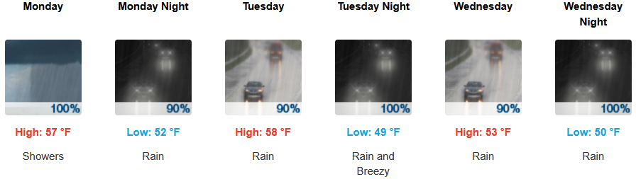
Along the coast, rain is expected late Sunday evening continuing through Monday with possible thunderstorms Monday afternoon and a south wind gusting from 13 to 23 mph as another cooler weather system moves into the area. Temperatures are forecast to be in the mid to upper 50’s for highs, with morning lows in the upper 40’s to low 50’s.
Brookings:
Crescent City:

Gold Beach:
Port Orford:
Cave Junction:
Grants Pass:
Medford: