

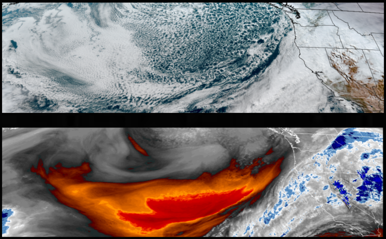
The ‘atmospheric river’ is expected to continue well into the work week with weaker systems pushing into the region before stronger systems as the week progresses with potential impacts to holiday plans and travel. Rounds of rain, with snow possible above 4000′, are forecast from the Pacific northwest to northern California through midweek.
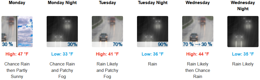
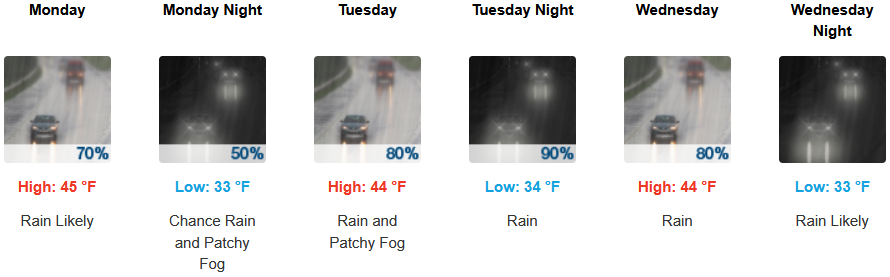
Rain, heavy at times, is forecast to continue inland as systems move into the region through midweek with high snow levels above 4000′ as with possible thunderstorms as cooler air moves in. Afternoon highs should be in the upper 40’s, with lows forecast to be in the upper 30’s.
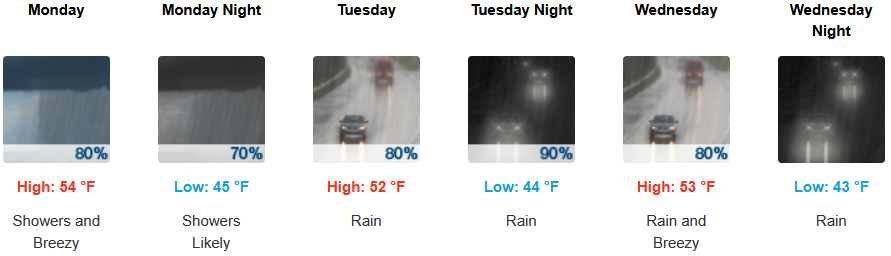
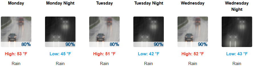
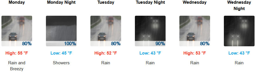
Along the coast, rain, heavy at times, with possible thunderstorms, is expected through midweek, as another cooler weather system moves into the area later in the week. Temperatures are forecast to be in the mid 50’s for highs, with morning lows in the mid to upper 40’s.
Brookings:
Crescent City:
Gold Beach:
Port Orford:
Cave Junction:
Grants Pass:
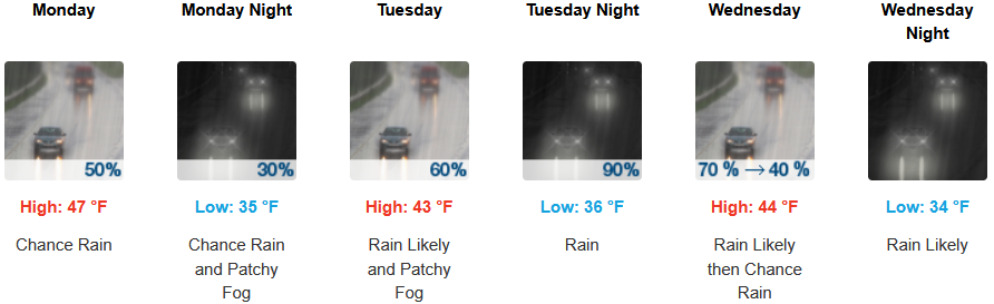
Medford: